Difficulty level: Very challenging
Altitude difference: about 2,300 meters
Total ascent time: about 7 hours (without breaks, at a good walking pace)
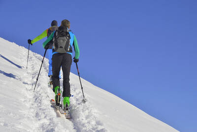
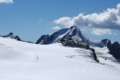
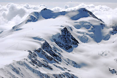
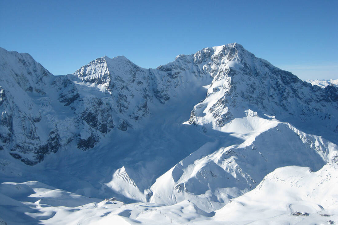
With a height of almost 4,000 meters, the Ortler is already a massive presence and is rightly considered the highest peak in the province of South Tyrol. The mountain giant has a high degree of glaciation, making early summer a suitable time for a ski tour here.
First and foremost, it should be noted that this route places high demands on mountaineers. Physical condition and experience are absolutely necessary to master the difficult ascent. The danger of avalanches, icefall, and crevasses should always be kept in mind. Familiarity with crossing avalanche cones is necessary. In some sections, the use of crampons, ice axe, and rope may be required.
Those in good shape can complete the route in one day. However, an overnight stay is usually recommended.
The tour starts in Drei Brunnen in the valley of Trafoi. From the parking lot, you walk over the bridge, past the small chapel, and up the summer path to the Berglhütte. It can be reached in about 1.5 hours, covering approximately 600 meters in altitude. Accommodation is available. The hut is generally open from early June to mid-October, but guests are also welcomed in winter upon request and weather permitting.
After the hut, a steep slope awaits to be crossed. The route continues with a series of switchbacks leading to the infamous Trafoier Eisrinne. Due to the steep incline, this section is only recommended for those without a fear of heights. Those who make it through will have had a gripping experience. After the Eisrinne, poor weather can lead to difficult visibility.
The next stop is the Bärenloch, a glacial basin that becomes quite steep towards the end, before reaching the Ortlerbiwak (also known as Lombardi-Biwak). The biwak provides a place to rest for a while. Here, the skier is greeted with a vast field of snow and ice – the Upper Ortler Glacier, which is crossed in a southeast direction. Then, a glacier crevasse is bypassed to the right, and the final sprint begins. Climbing up the ridge, you reach the summit of the Ortler, where a modern summit cross and an overwhelming panoramic view of the Vinschgau Oberland await you. Upon reaching this highest point, you will have covered 1,700 meters in altitude.
The descent initially follows the ascent route. If the snow conditions allow, you should take the path through the Pleissenbach Gorge just before the Berglhütte, which leads down to Drei Brunnen. However, never underestimate the avalanche risk here either. If there is a lack of snow, the ascent route is also an alternative to return to the valley.


 How do you like the content of this page?


 notice