Tabaretta-Spitze (Sulden/Ortler)
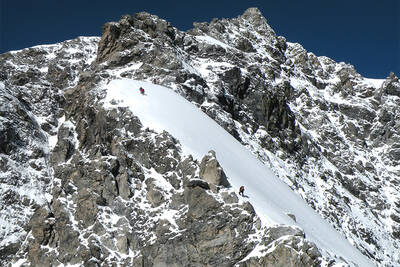
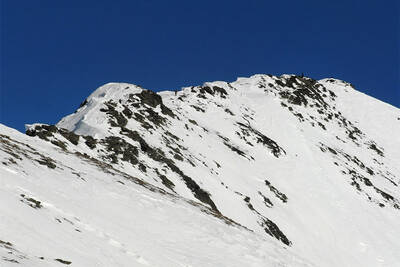
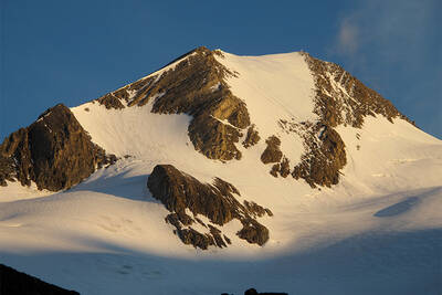
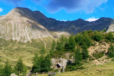
The Tabaretta climbing route is one of the biggest challenges in South Tyrol. It is long, difficult, and located at an altitude of around 3000 m, in truly high alpine terrain. A number of key passages are located high up on the wall, so conditioning and climbing experience are absolutely necessary.
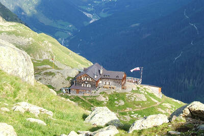
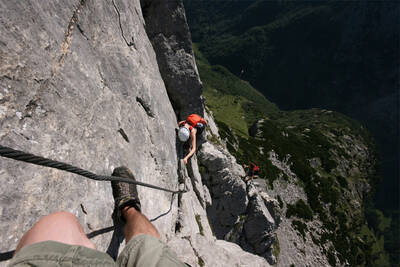
From the chairlift mountain station, you go to the Tabaretta Hut, from there further on the path marked "Klettersteig" to the entry point. The route is only secured with a steel rope and completely without stepping aids. Especially the traverse at the "Geelen Knott" is extremely exhausting; turning back is often difficult, and there is also no emergency exit. However, the breathtaking panorama with the Ortler compensates for the efforts.
Altitude mountain station Langenstein chairlift: 2350 m, Tabaretta Hut: 2556 m, Entry point: approx. 2500 m
Altitude Julius Payer Hut: 3029 m, Tabaretta Spitze: 3128 m
Approach time: 2 h
Climbing time: 3 h
Difficulty level: E
Via ferrata Cesare Piazzetta (Piz Boè)
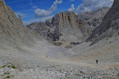
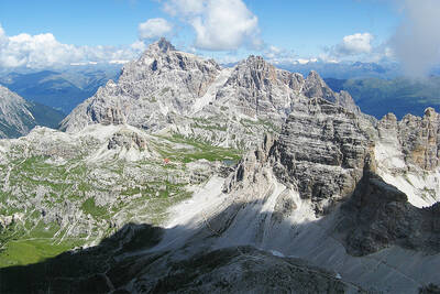
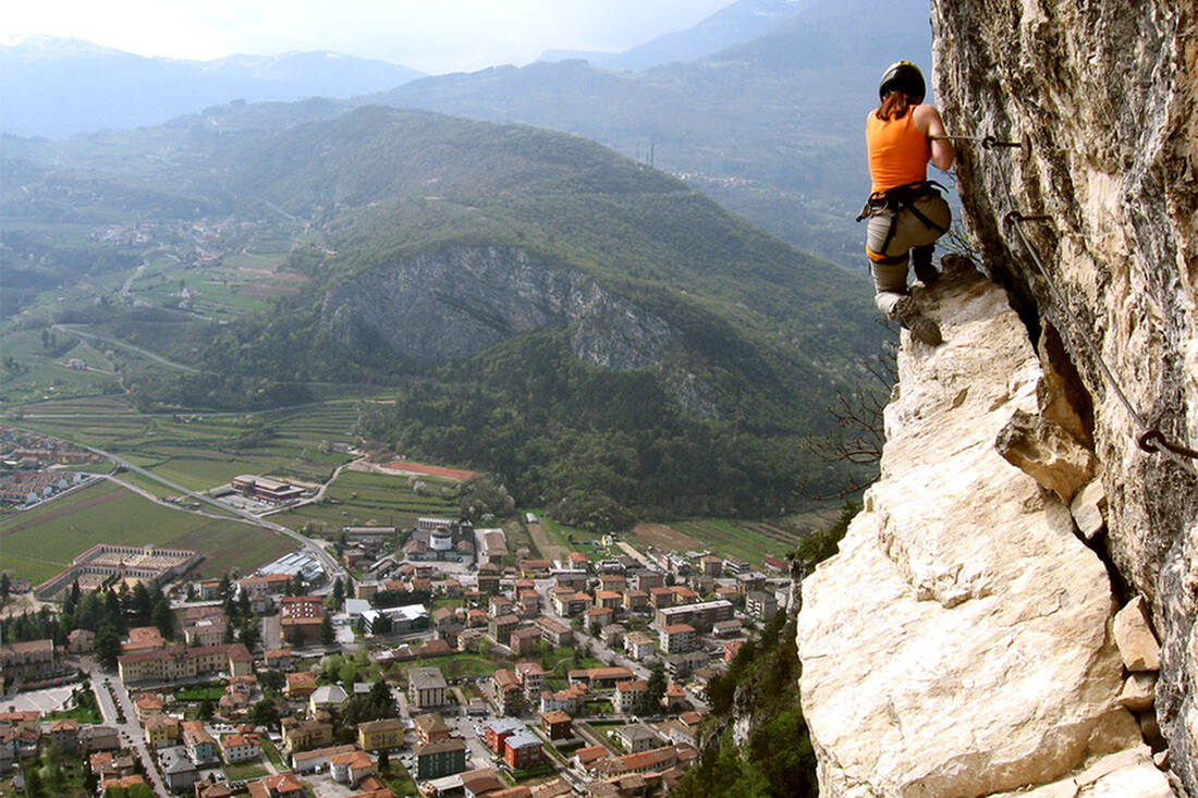
From the war cemetery at Pordoijoch, you reach the foot of the wall and the entry point on path 672. The via ferrata has some very difficult passages, especially in the first part, the first 40 m are almost vertical, demanding strength and technique; in the upper section, it is technically easier to climb. The safety with steel rope and stepping aids at exposed places is excellent, but there are also exposed passages without rope safety. The Piazzetta via ferrata with its views of the Marmolada Glacier is simply fantastic.
Altitude Pordoijoch 2239 m, Entry point: approx. 2640 m
Altitude Piz Boè and Fassa Hut: 3152 m
Climbing height: 320 m
Approach time: 1 h
Climbing time: 1.5 h
Difficulty level: D+
Laurenzisteig (Seiser Alm)
From the mountain station of the Seiser Alm Panorama Lift, you hike over the Rosszahnscharte (2499 m) to the Tierser Alm and further to the entry point at Molignonpass - total duration approx. 2:45 hours. The via ferrata first leads to the Äußere Molignon and from there to the Mittlere. Only the tricky passages are secured with a steel rope, the rest is partly exposed, but mostly not too difficult climbing. For the descent, you should plan another 3.5 hours, so the tour is very long for one day. Therefore, staying overnight at the Tierser Alm or one of the other huts on the Seiser Alm is recommended.
Altitude mountain station Panoramabahn: 2011 m, Tierser Alpl Hut: 2440 m, Entry point: 2600 m
Altitude Mittlerer Molignon: 2852 m
Climbing height: 250 m
Approach time: 2:45 h
Climbing time: 1:30 h
Difficulty level: D
Pisciadústeig (Kolfuschg, Alta Badia)
From the parking lot, you reach the entry point in the lower section in 30 to 45 minutes. Initially not too difficult, this classic Dolomite via ferrata becomes significantly more challenging in the second section. If you lack the experience and conditioning for this, you can switch to the "normal" route to the Pisciadú Hut via the emergency exit. The via ferrata with some very steep passages is well secured, the highlight is the suspension bridge at the end of the route.
Altitude parking lot Schottergrube: 1956 m, Entry point: approx. 2100 m
Altitude Pisciadú Hut: 2585 m
Climbing height: 400 m
Approach time: 45 min.
Climbing time: 2 h
Difficulty level: C/D
Pursteinwand-Klettersteig (Tauferer Ahrntal)
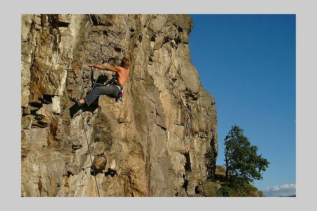
Behind Taufers, the Pursteinwand is clearly visible. In the local climbing garden, there are a number of routes, including a real sport climbing route. On a relatively short route, this route offers everything that makes the experienced climber happy: steep ascents, exposed, partly overhanging passages, and daring traverses. Here you can also climb in early summer, autumn, and even on beautiful, snow-free winter days.
Altitude entry point: 870 m
Climbing height: 190 m
Approach time: 15 min.
Climbing time: 1.5 h
Difficulty level: D/E


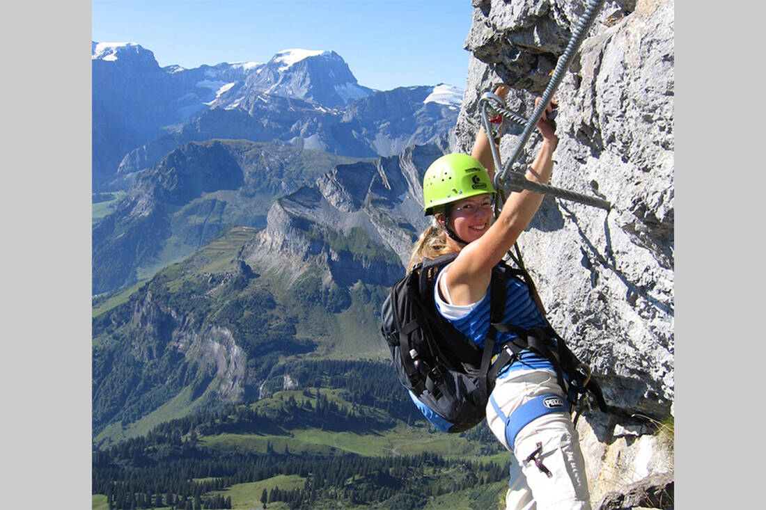
 A tip from the mountain guide Hias
 How do you like the content of this page?
 notice