Search Navigation Map
Search

Via Ferrata Conturinesspitze (Dolomites)

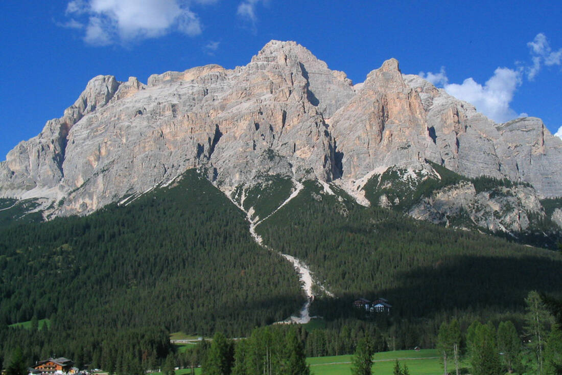
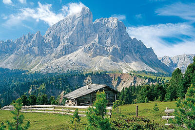
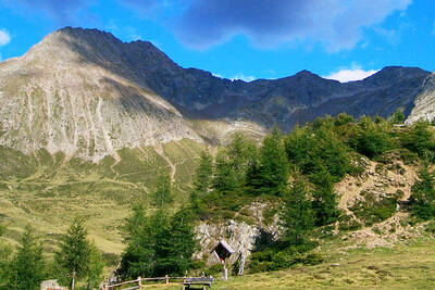
Mount Conturines, Alta Badia
Mount Conturines, Alta Badia - Foto: Federico Pelloni - CC BY-ND 2.0

Valley altitude: 1,193m; End altitude: 3,064m
Walking time: 6-6.5 hours
Trail length: 17.9km; difference in altitude: 1,229m
Difficulty level: difficult, climbing sections I + II

The tour to Conturinesspitze (3,064m above sea level) requires plenty of stamina and fitness. Even well-trained mountaineers can push themselves to their limits here.

The starting point of this challenging trail is the Faneshütte (2,060m). The first trail leads from there via Limojoch and Limosee to Gross Fanes and Tadegajoch (2,157m). The route continues via Vallon Lavares, always in the direction of Lavarella.

The ascent to the summit of the Conturinesspitze is via a via ferrata, which requires appropriate climbing equipment. Once at the top, you can enjoy a magnificent view over the valley of San Cassiano. Extension of the tour: if you can't get enough, you can also climb the Lavarella.

How do you like the content of this page?
Please give us your feedback!

Recommended accommodations

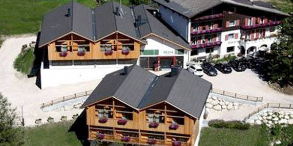
Hotel Rezia

La Villa ★★★s

The Hotel Rezia is located in the village of La Villa (1,433 m a.s.l.), in a renowned village in the Badia Valley,

Request   Details

Homepage   Heart icon notice
Icon Vacation apartment Icon Family Hotel Icon Hiking Hotel Icon Mountainbike Hotel Icon Ski Hotel

Rönnhof – Chalet Cogolara

Corvara ★★★★

Luxury apartments in South Tyrol! The Chalet Cogolara is located in Colfosco in peaceful setting at the foot of the Puez-Odle/Geisler nature park, in the heart of the Dolomites UNESCO World Natural Heritage.

Request   Details

Homepage   Heart icon notice
Hotel of the
Month
Hotel Plunhof

★★★★sAlto Adige

Hotel Plunhof
  • most family-friendly wellness hotel
  • enjoy the winter landscape
  • cross-country skiing paradise
  • Spa Minera Acqua Minera
  • spicy wines
  • be active together

Top Hotels

The best
tips
more on this topic
Rope team on Ortler ridge
Foto: Svíčková - GFDL
Mountain Tour: Ortler Hintergrat
Jacob's Peak
Foto: Bbb - CC BY-SA 1.0
Mountain Tour: To the Jakobsspitze
High Angelus and Tschenglser High Wall in Vinschgau seen from the northeast
Foto: Erwin Lindemann - Public Domain
Via Ferrata Tschenglser Hochwand
Descent from Santner Pass - View of the Gartl Hut
Foto: Andrea Schieber - CC BY-SA 2.0
Santnerpass Via Ferrata (Dolomites)
Mount Conturines, Alta Badia
Foto: Federico Pelloni - CC BY-ND 2.0
Via Ferrata Conturinesspitze (Dolomites)
Climbing on the Nose Wall
(c) gego2605 - CC BY-SA 2.0
5 challenging Via Ferratas in South Tyrol
View of the Magdeburger Hut
Photo: Wikipedia-User: Cactus26 - CC BY-SA 3.0
From the Magdeburger to the Teplitzer Hütte
Dreischusterspitze, Schusterplatte and Paternkofel from the summit of the Kleine Zinne
Christian Pellegrin - CC BY-SA 2.0
Mountain hike to the Schusterplatte (2957 m)
View of Roen from Karnol
Photo: Wikipedia-User: Plentn - Public Domain
Hike to Roèn (2116 m)
East flank of Rötspitze (firn trapezoid)
Photo: Wikipedia-User: Mariozott - CC BY-SA 3.0
High Tour to Rötspitze (3495 m)
Rauchkofel
Stefan.straub - CC BY-SA 4.0
High Tour to Rauchkofel (3252 m)
The Hirzer Peak (left, 2781m) from the west
Photo: Wikipedia-User: Stevie-Ray78 - CC BY-SA 3.0
Hike to the Hirzer (2781 m)
Spronser Lakes: Green Lake - Texel Group Nature Park
Photo: Wikipedia-User: Noclador - CC BY-SA 3.0
Spronser Lakes Plateau (2126 - 2589 m)

Vacation Offers


Close
Close