Search Navigation Map
Search

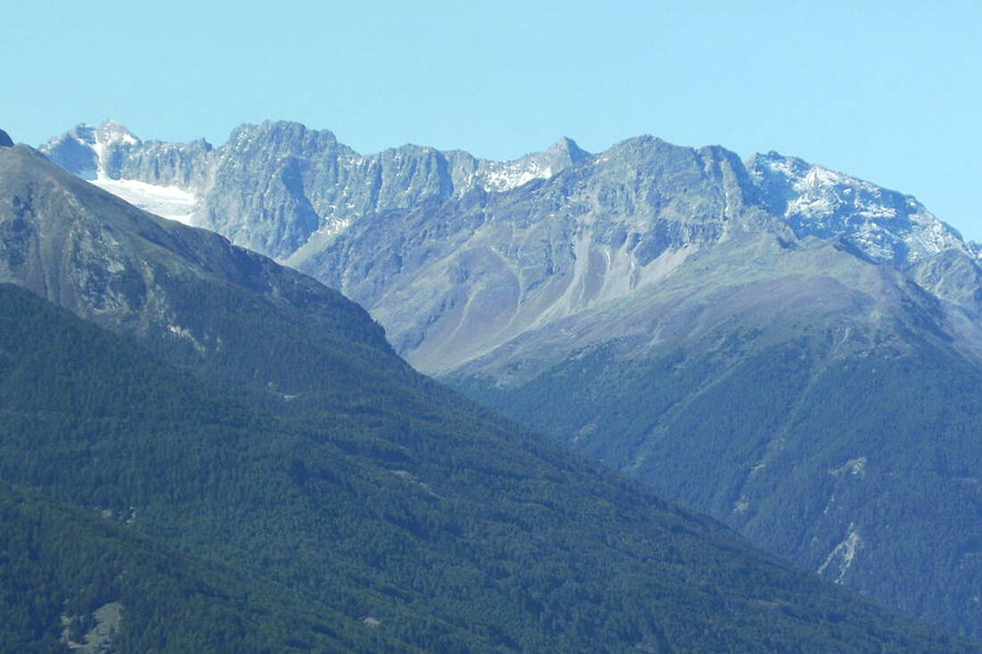
Via Ferrata Tschenglser Hochwand

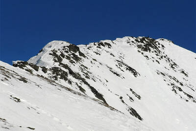
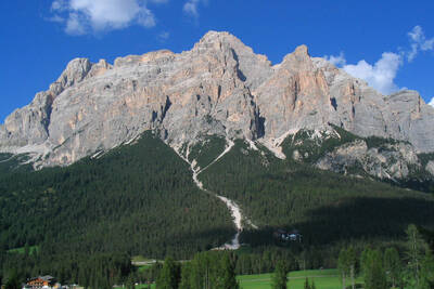
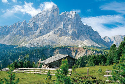
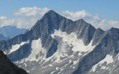
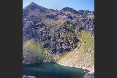
High Angelus and Tschenglser High Wall in Vinschgau seen from the northeast
High Angelus and Tschenglser High Wall in Vinschgau seen from the northeast - Foto: Erwin Lindemann - Public Domain

Valley altitude: 1,861m; End altitude: 3,375m
Walking time: 8-9 hours
Trail length: 14.8km; difference in altitude: 1,527m
Difficulty level: black mountain trails, via ferrata with classification C

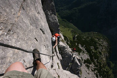
A varied tour awaits all those who want to conquer the Tschenglser Hochwand. This tour includes both classic sections of a mountain tour and climbing elements.

The start is at the Düsseldorfer Hütte in Sulden at 2,721m above sea level. From there, head north-east, always following the signpost "Tschenglser-Hochwand-Zayjoch". After a while you will reach the via ferrata. Here you are spoiled for choice.

A total of 3 ascent options are available: the normal route, which is suitable for all mountaineers and climbers, the "Otto-Erich" route (some unsecured sections, medium difficulty) and the new via ferrata, which may only be tackled with the appropriate experience and equipment.

How do you like the content of this page?
Please give us your feedback!

Recommended accommodations

Icon Vacation apartment Icon Mountainbike Hotel Icon Ski Hotel Icon Motorcycle Hotel

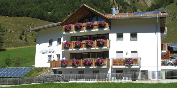
Residence Garni Weisskugel

Melag / Langtaufers – Curon Venosta ★★★

Reside surrounded by mountains in a quieter environment in modernly furnished holiday apartments with very good facilities in an alpine style and breathtaking views.

Request   Details

Homepage   Heart icon notice
Icon Hiking Hotel Icon Mountainbike Hotel Icon Motorcycle Hotel

Hotel Vinschgerhof

Vezzano ★★★s

Welcome to Wanderhotel Vinschgerhof your vacation in Schlanders!

Request   Details

Homepage   Heart icon notice
Icon Hiking Hotel Icon Mountainbike Hotel Icon Gourmet Hotel

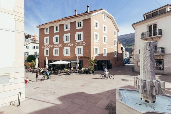
Genusshotel Goldene Rose

Silandro ★★★s

The traditional Genusshotel Goldene Rose in the heart of Silandro is the perfect holiday destination for relaxation and adventure seekers. Amidst the mountains and the breathtaking landscapes of the Vinschgau Valley, the possibilities are limitless: whether hikers, cyclists or mountain bikers - unique moments of enjoyment are guaranteed here.

Request   Details

Homepage   Heart icon notice
Icon Family Hotel Icon Hiking Hotel Icon Mountainbike Hotel Icon Ski Hotel

Hotel Kastellatz

Malles ★★★s

Pure relaxation, spectacular mountain landscapes, fresh air and the tranquility of nature – at Hotel Kastellatz, the ideal mix of active vacation, recreation, and family fun awaits you. Located at the foot of the ski and hiking mountain Watles, we are the perfect starting point for your holiday in the Vinschgau.

Request   Details

Homepage   Heart icon notice
Hotel of the
Month
Hotel Plunhof

★★★★sAlto Adige

Hotel Plunhof
  • most family-friendly wellness hotel
  • enjoy the winter landscape
  • cross-country skiing paradise
  • Spa Minera Acqua Minera
  • spicy wines
  • be active together

Top Hotels

The best
tips
more on this topic
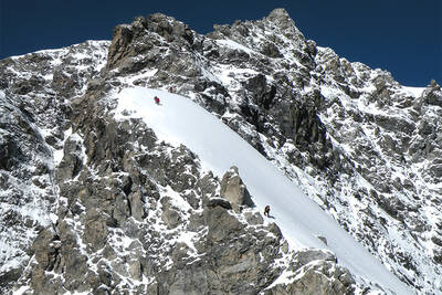
Rope team on Ortler ridge
Foto: Svíčková - GFDL
Mountain Tour: Ortler Hintergrat
Jacob's Peak
Foto: Bbb - CC BY-SA 1.0
Mountain Tour: To the Jakobsspitze
High Angelus and Tschenglser High Wall in Vinschgau seen from the northeast
Foto: Erwin Lindemann - Public Domain
Via Ferrata Tschenglser Hochwand
Descent from Santner Pass - View of the Gartl Hut
Foto: Andrea Schieber - CC BY-SA 2.0
Santnerpass Via Ferrata (Dolomites)
Mount Conturines, Alta Badia
Foto: Federico Pelloni - CC BY-ND 2.0
Via Ferrata Conturinesspitze (Dolomites)
Climbing on the Nose Wall
(c) gego2605 - CC BY-SA 2.0
5 challenging Via Ferratas in South Tyrol
View of the Magdeburger Hut
Photo: Wikipedia-User: Cactus26 - CC BY-SA 3.0
From the Magdeburger to the Teplitzer Hütte
Dreischusterspitze, Schusterplatte and Paternkofel from the summit of the Kleine Zinne
Christian Pellegrin - CC BY-SA 2.0
Mountain hike to the Schusterplatte (2957 m)
View of Roen from Karnol
Photo: Wikipedia-User: Plentn - Public Domain
Hike to Roèn (2116 m)
East flank of Rötspitze (firn trapezoid)
Photo: Wikipedia-User: Mariozott - CC BY-SA 3.0
High Tour to Rötspitze (3495 m)
Rauchkofel
Stefan.straub - CC BY-SA 4.0
High Tour to Rauchkofel (3252 m)
The Hirzer Peak (left, 2781m) from the west
Photo: Wikipedia-User: Stevie-Ray78 - CC BY-SA 3.0
Hike to the Hirzer (2781 m)
Spronser Lakes: Green Lake - Texel Group Nature Park
Photo: Wikipedia-User: Noclador - CC BY-SA 3.0
Spronser Lakes Plateau (2126 - 2589 m)

Vacation Offers


Close
Close