700 meters of altitude / 4h
Near Staffen (west of Kössen) you will find three small parking lots, which are often used by hikers. At the end of the third parking lot, the path begins into a tour that is well suited for a half-day trip.
It is the forestry road named "Naringweg", which is also marked as trail No. 23 – initially still paved for a bit, later it increasingly leads into the forest.
If you see the signpost for Hinhageralm, turn off in this direction. You will soon feel that the path becomes steeper. A good sign, because after all, we also want to go up the mountain.
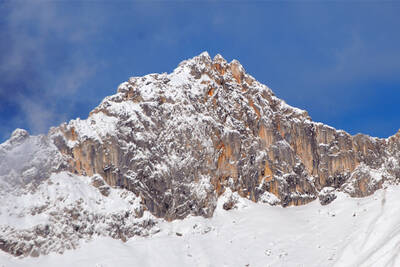
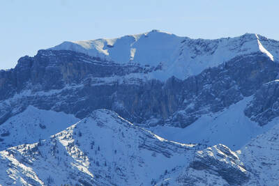
Once you have reached the Hinhageralm, you are already at an altitude of more than 1,000 meters. This is also the area of the forest line. Just above the alpine pasture, you pass the service road and climb up the slope to the mountain shoulder via steep switchbacks. Now it goes over the back of the mountain giant on a slightly ascending route westward to the summit of the Wetterfahne – our destination at almost 1,300 meters altitude. A clearly visible wind direction indicator signals to you that you have reached your destination. At the latest now it becomes clear where the mountain peak got its name from.
The way back can be done via the same path that you have already ascended. But there is also an alternative plan in the hiker's bag. Trail No. 23 has not yet ended here, and so it continues on this trail over the ridge to the highest elevation of this hike at 1,314 meters.
Then it's time to say goodbye to the mountain ridge, and over a descending route northwards – passing a characteristic stone figure on a tree trunk – you go back down again. Follow the signposts labeled Rudersburg – Karalm and you will return to the familiar trail number 23. This time it leads to the Wegereralm, to the Naringalm and again to the Hinhageralm, from where the last section over the service road back to the parking lot is tackled.
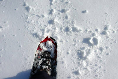
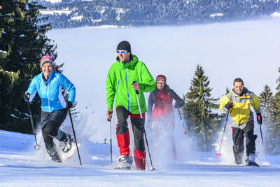
Approximately 700 meters of altitude and technically as well as physically somewhat challenging sections make this hike an undertaking that already requires a little practice in snowshoe hiking. Especially the steep slope above the Hinhageralm screams for sure-footed movements in abundant snow conditions.
The total route can be completed in just under 4 hours.


 How do you like the content of this page?