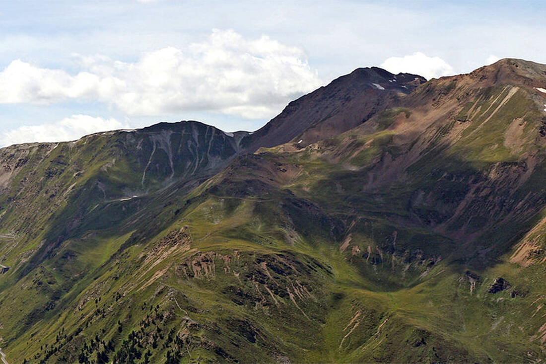
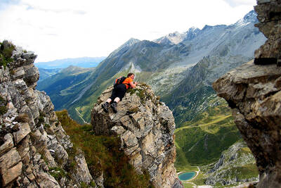
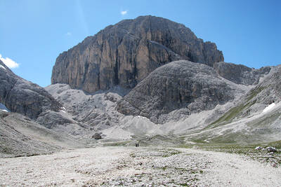
However, a clarification in advance: "easy" is a very relative term when it comes to a three-thousander summit. The tours should only be attempted in good weather, with appropriate alpine knowledge, suitable equipment, and preferably in the company of a certified mountain guide. Most three-thousanders cannot be conquered in one day, so an overnight stay should be planned.
The 10 easiest Three thousand meter Peaks
Scheiblehenkogel (Ötztal)
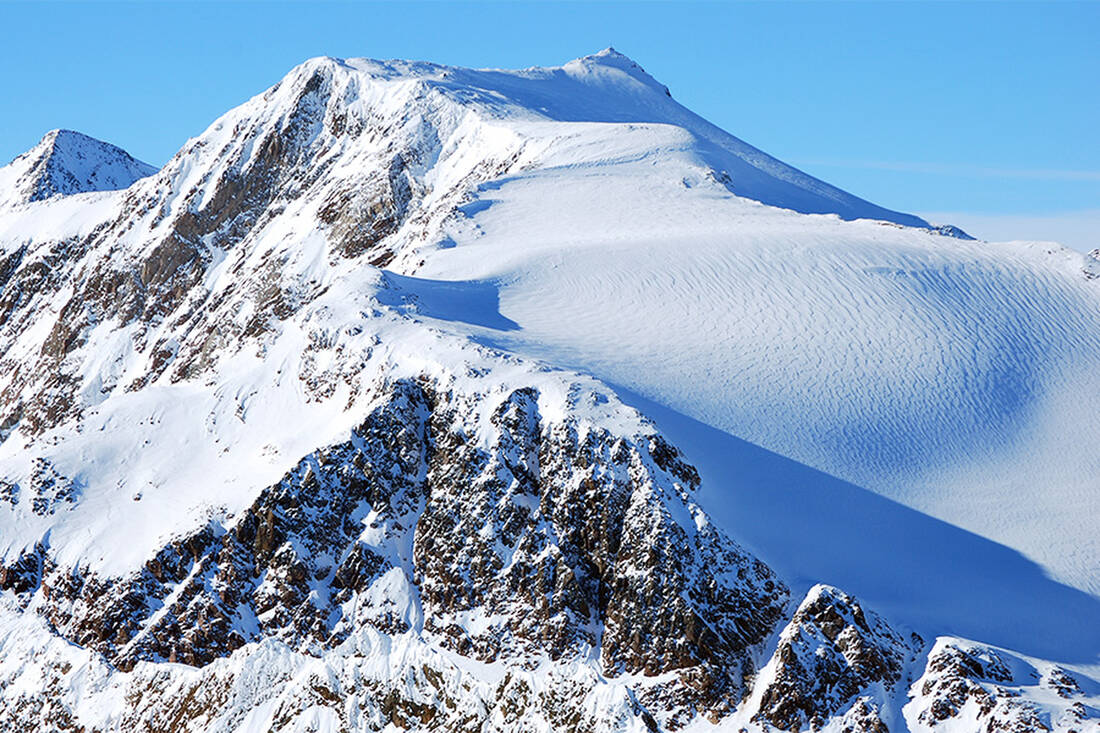
The Scheiblehenkogel is quickly accessible from the Sieglanderhütte. The ascent via the SW ridge is short and not dangerous. The mountain is also suitable for ski tours in winter and offers magnificent views.
Starting altitude: 2710 m (Sieglander Hütte)
Summit altitude: 3060 m
Difficulty: easy
Ascent duration: 2 h from the Sieglander Hütte
Base: Sieglander Hütte, 2710 m – accessible from Sölden in the Ötztal in 5 h or from Moos in the Passeiertal in 4 h
Kreuzspitze (Ötztal)
From Vent in the Ötztal, you hike on the H. Kuchling Weg to the Martin Busch Hütte in 2.5 – 3 h. To the right of the hut, a steep, winding path leads to the summit of the Kreuzspitze. The tour is not difficult but strenuous, so it is better to split it over two days.
Starting altitude: 1900 m (Vent)
Summit altitude: 3397 m
Difficulty: moderate
Ascent duration: 5.5 – 6 h
Base: Martin Busch Hütte, 2501 m
Schönbichler Horn (Zillertal)
Behind Mayrhofen, in Ginzling, is the Gasthof Breitlahner. The approximately three-hour ascent to the Berliner Hütte begins here. From here, the well-marked Berliner Höhenweg and the partially secured path over the ridge lead to the summit of the Schönbichler Horn.
Starting altitude: 1257 m (Gasthaus Breitlahner near Mayrhofen in the Zillertal)
Summit altitude: 3134 m
Difficulty: moderate
Ascent duration: a total of 5 – 6 h
Base: Berliner Hütte, 2044 m
Hohe Geige (Pitztal)
From the hamlet of Plangeross in the rear Pitztal, the path leads to the Rüsselheimer or Chemnitzer Hütte. From here, the well-marked path no. 911 leads to the second junction, then over moraine terrain and the southern slope to the highest peak of the Geigenkamm, the Hohe Geige.
Starting altitude: 1612 m (parking lot near the hamlet of Plangeross in the Pitztal)
Summit altitude: 3393 m
Difficulty: easy
Ascent duration: 4.5 – 5 h
Base: Rüsselheimer (Chemnitzer) Hütte, 2323 m
South Tyrol
Wilder Freiger (Ridnauntal)
From the Becherhaus, the highest shelter in South Tyrol, you can reach the Wilder Freiger as an extra. The starting point is in Maiern in the Ridnauntal; footpath no. 9 leads via the Grohmannhütte and the Teplitzer Hütte in about 7 hours to the Becherhaus at an altitude of 3195 m. In just under 45 minutes, you can reach the Wilder Freiger from here – without glacier equipment and crampons.
Starting altitude: 1978 m (Maiern in the Ridnauntal)
Summit altitude: 3418 m
Difficulty: moderate
Ascent duration: a total of 8 h
Base: Becherhaus, 3195 m
Wilde Kreuzspitze (Valser Tal)
The route to the Kreuzspitze via the Fane Alm is one of the classics among mountain tours, and the summit is not as "wild" as the name suggests. From the parking lot in Vals, you first walk on the road to the Fane Alm and then continue on path no. 18 to the Labesebenhütte and the Wilder See. The path then leads through the Rautaljoch, partly secured but without climbing sections, to the summit. Beautiful view of the Dolomites.
Starting altitude: 1400 m (Vals)
Summit altitude: 3132 m
Difficulty: easy
Ascent duration: 6 – 7 h
Base: Fane Alm (1739 m), Labesebenhütte
Piz Boè (Alta Badia)
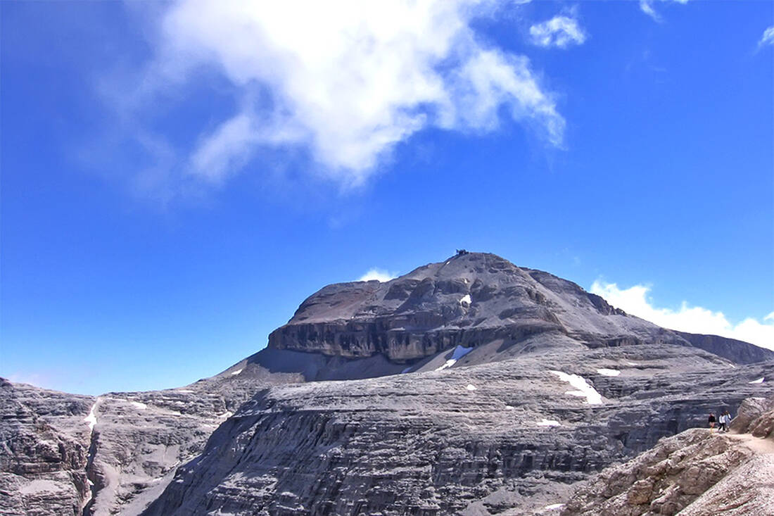
The Piz Boè, the highest peak of the Sella Group, is one of the most well-known and therefore most visited peaks in the Dolomites. For simplicity, you can take the cable car and then the chairlift from Corvara, reaching over 2500 m comfortably. From here, the path 638 and then 672 lead to the Eisseespitze (3009 m), then over Hahnenkamm and Jägerscharte – partly secured – in about 2.5 h to the summit. The small Fassa-Hütte is also located here.
Starting altitude: 1550 m (Corvara) or 2520 m (mountain station chairlift)
Summit altitude: 3152 m
Difficulty: easy
Ascent duration: 2.5 h
Base: Franz-Kostner-Hütte (2500 m), Fassa-Hütte at the summit
Tschenglser Hochwand (Vinschgau)
This peak is one of the easiest in the Ortler Group. The starting point is Sulden in the Vinschgau, and to save energy, you can take the chairlift for the first part. From the mountain station, the path leads in 1 – 1.5 h walking time to the Düsseldorfer Hütte. From here, follow the markings until the path splits at around 3000m altitude. The "normal route" to the left, over a scree slope and the SW ridge, can be conquered by experienced mountaineers without major difficulties in 2 – 2.5 h. In early summer, there may still be snow in the gully.
Starting altitude: 1860 m (Sulden) or 2348m (mountain station chairlift)
Summit altitude: 3375 m
Difficulty: easy
Ascent duration: 4 h
Base: Düsseldorfer Hütte, 2721 m
Hasenöhrl (Vinschgau)
From Latsch, take the chairlift to the Tarscher Alm, then walk to the Pfarer Alm and the Latscher Joch to the Blauen Schneide (2915 m); further partly over blockwork to the sub-peak and over the ridge to the summit cross.
Starting altitude: 1940 m (Tarscher Alm)
Summit altitude: 3255 m
Difficulty: moderate
Ascent duration: 7 h
Rötlspitze (Stilfser Joch)
The Rötlspitze is probably one of the quickest and easiest three-thousanders to reach in South Tyrol. From the parking lot at the summit of the Stelvio Pass, you can reach the summit with less than 300 meters of altitude on the marked path. At times, you can follow the information path of the National Park with panels on botany, geology, and history.
Starting altitude: 2758 m (Stelvio Pass)
Summit altitude: 3026 m
Difficulty: easy
Ascent duration: 1.5 h
 A tip from the mountain guide Hias
 How do you like the content of this page?
Please give us your feedback!
Month
Vacation Offers
tips


