Search Navigation Map
Search

Meraner Höhenweg

Many consider it to be the most beautiful hiking trail in all of South Tyrol. With a total length of around 100 km, it circles the Texel Group and offers numerous fantastic views and insights.

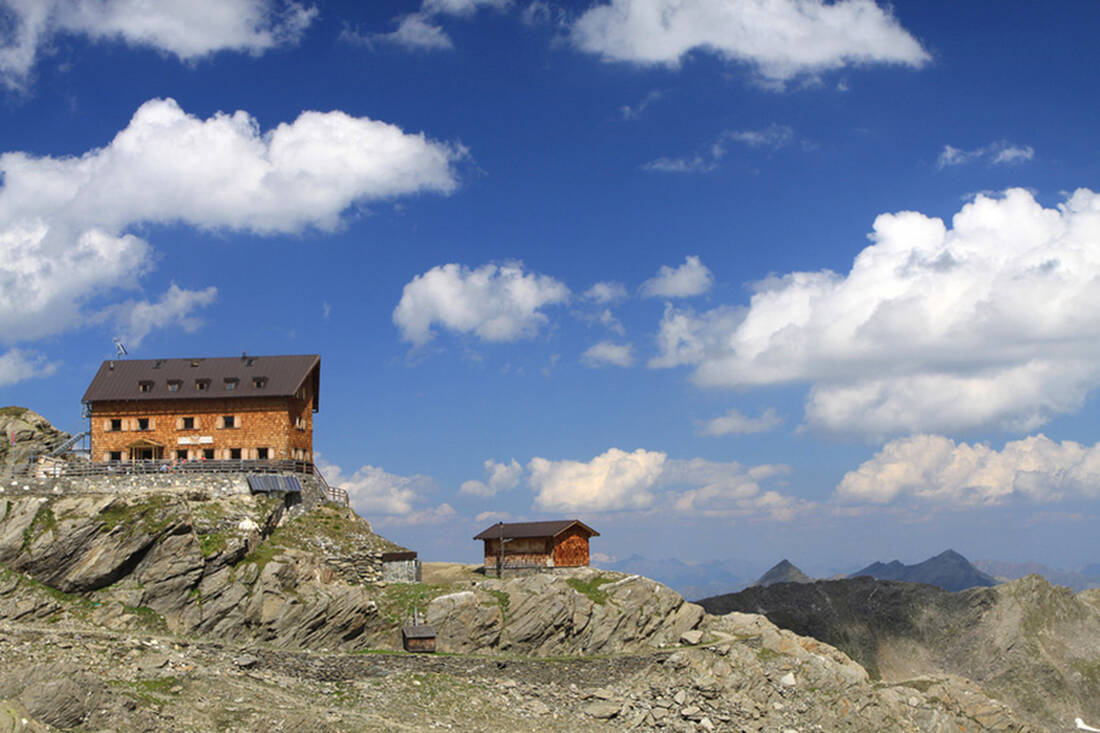
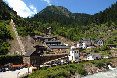
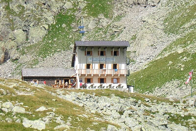
Stettiner Hütte, Meraner Höhenweg, Südtirol
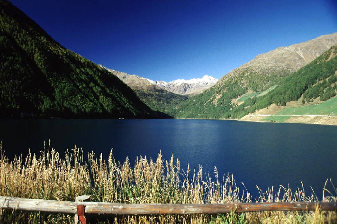
Schnals Valley Vernagt Reservoir
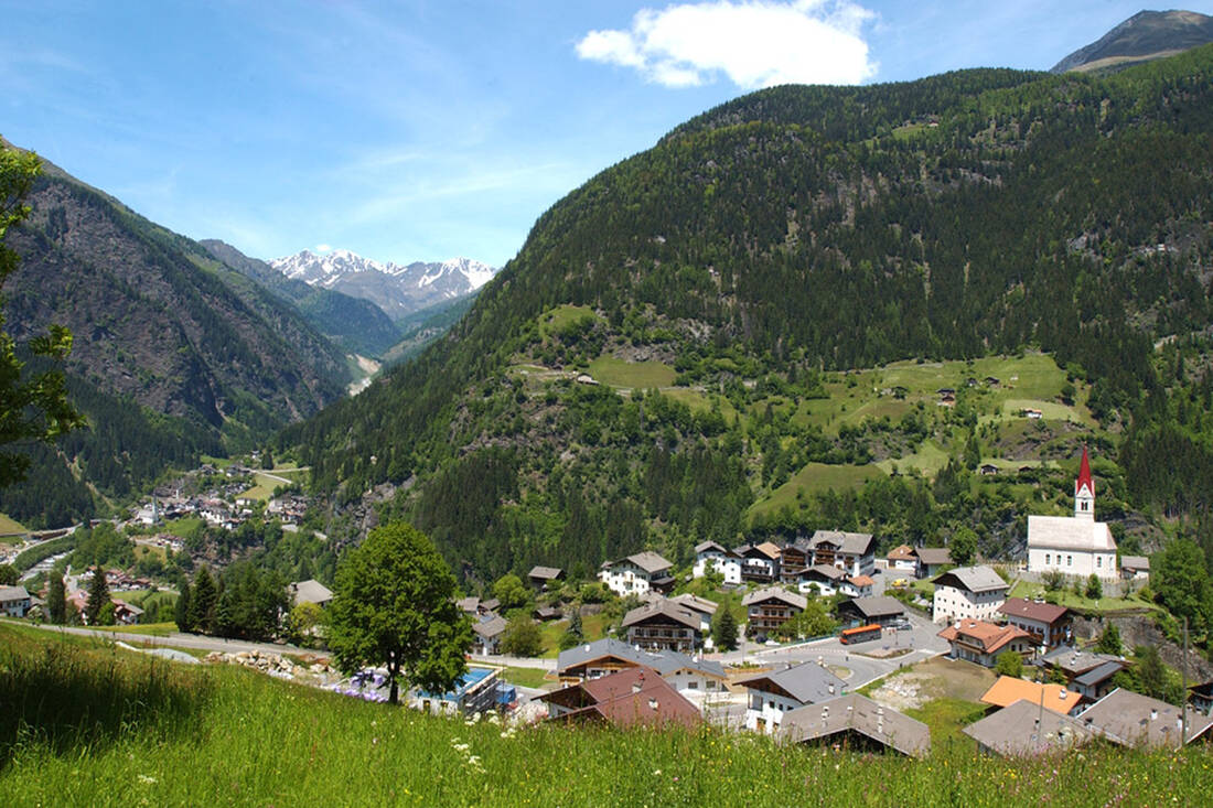
Platt in Passeier Valley (1140m)
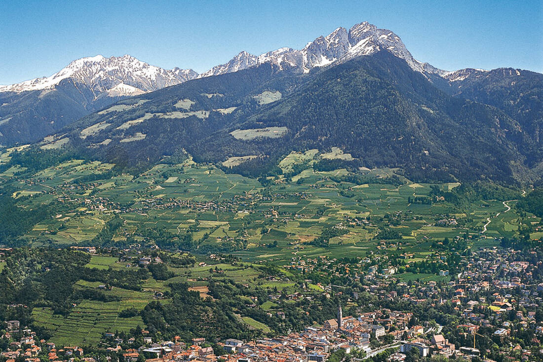
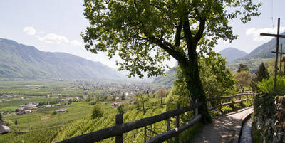
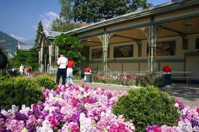
Merano with Ifinger
Merano with Ifinger

The Merano High Mountain Trail runs along the edge of the Texel Group Nature Park. Over long distances, it remains relatively constant at an altitude of about 1,400 m, but in between there are smaller and larger ascents to be mastered, up to several hundred meters. Two larger "outliers" lead to the Hochganghaus at 1,839 m and to the Eisjöchl, which at a proud 2,895 m represents the absolute highlight of the Merano High Mountain Trail.

Of course, the trail does not have to be completed as a whole, but can be enjoyed in different sections as desired. Officially, it is divided into a north and a south part, with the respective starting or ending points in the west in Katharinaberg in Schnalstal and in the east in Ulfas, a district of the municipality of Moos in Passeier. The southern section along the sunny side of the Texel Group is ideal for pleasure hikers, while the northern part has a more high-alpine character. While the southern part is even passable in some sections all year round, the northern part only allows hiking in the summer months from June to September.

Those who would like to tackle the entire route should expect to be on the road for three to eight days, depending on their condition and stage division. Along the high trail, there are snack stations, alpine and mountain huts at regular intervals. So, there is plenty of food, accommodation options, and protection from rain and storms.

Fascinating Prospects

The Merano High Mountain Trail was opened in 1985. For the most part, it uses historical paths that have been used by mountain farmers since time immemorial. The views of the highest peaks of the nature park, the Texelspitze at 3,318 m, the Roteck at 3,337 m, the Hohe Weiße (3,281 m), and the Trübwand (3,266 m) are just as impressive and breathtaking as the panorama that opens up over Merano, the Vinschgau, the main Alpine ridge, and the Passeier and Schnalstal valleys.

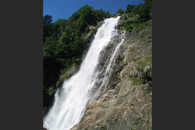
The surroundings of the Merano High Mountain Trail are also fascinating. The surrounding towns offer numerous sights and attractions. These include the spa town of Merano with its flair, culture, thermal baths, and elegant parks and promenades; the Passeier Valley with its old manor farms; the famous Castle Tyrol with the regional museum; Naturns with the Romanesque Prokulus Church and the nature park house; Castle Juval, part of the Messner Mountain Museum; natural beauties such as the Spronser Lakes or the Partschinser Waterfall; and finally, the Archeopark in Schnals and the site of the "Ötzi" on the Similaun Glacier.

Important Notice

In winter 2014, the Stettiner Hütte was severely affected by an avalanche. As a result, the hut is expected to be operated as a snack station without overnight accommodation until 2017 during the construction work. Some emergency sleeping places should be available in the meantime.

The walking time for the current Merano High Mountain Trail stage from Eishof/Pfossental to Zeppichl/Pfelders is approximately 7 hours (2100 meters in altitude). There are no overnight accommodations in between!

How do you like the content of this page?
Please give us your feedback!

Recommended accommodations

Icon Wellness Hotel Icon Hiking Hotel Icon Hotels for Lovers Icon Gourmet Hotel Icon Luxury Hotel

Hotel Resmairhof

Scena ★★★★s

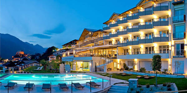
Unique views in a 4-star superior hotel in Scena! We will shortly be proudly reopening and look forward to showing you our new hotel in Scena in person!

Request   Details

Homepage   Heart icon notice
Icon Wellness Hotel Icon Design Hotel Icon Wine Hotel Icon Boutique Hotel

SomVita Suites

Tirolo ★★★★s

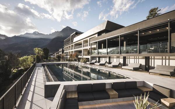
SomVita – the feeling of pure relaxation.

Request   Details

Homepage   Heart icon notice
Icon Hiking Hotel Icon Mountainbike Hotel Icon Ski Hotel

Hotel Seerast

Ultimo ★★★

Leave everyday life behind and spend restorative moments – that‘s what you can do at the Hotel Seerast in the idyllic Ultental in the Meran region. The Staffler family will warmly welcome you and ensure that you have an unforgettable time.

Request   Details

Homepage   Heart icon notice
Icon Family Hotel Icon Hiking Hotel Icon Mountainbike Hotel

Hotel Mehrhauser

Nalles ★★★s

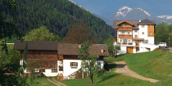
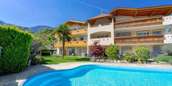
At the family-run Hotel Mehrhauser in South Tyrol you can expect a warm ambience with lots of cozy comfort, the hosts themselves are enthusiastic hikers, bikers & wine lovers. Our fine accommodation in Merano and Environs is located in a central but stimulating location next to orchards and has a wonderful garden and pool area.

Request   Details

Homepage   Heart icon notice
Hotel of the
Month
Hotel Plunhof

★★★★sAlto Adige

Hotel Plunhof
  • most family-friendly wellness hotel
  • enjoy the winter landscape
  • cross-country skiing paradise
  • Spa Minera Acqua Minera
  • spicy wines
  • be active together

Vacation Offers

The best
tips
more on this topic
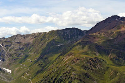
Stelvio Pass (left) and Rötlspitze (far right)
Foto: Armin Kübelbeck (modified by Svíčková and suedtirol-tirol) - CC BY-SA 3.0
8 Peaks March (Vinschgau)
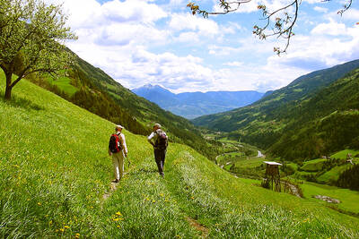
Passeier Valley towards Merano
Urheber: Unbekannt - PD
Passeier High Trail (Passeier Valley)
Tribulaun Hut on the last meters of the hut climb
Photo: Wikipedia-User: Cactus26 - CC BY-SA 3.0
From the Tribulaun to the Magdeburger Hut
Partschinser Waterfall
Markus Rungg - CC-by-sa 3.0/de
Partschins Waterfall
South Tyrolean Schlinig Valley
Photo: Wikipedia-User: Mawamo - GFDL
Hike to the Pfaffenseen (2222 m)
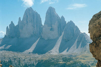
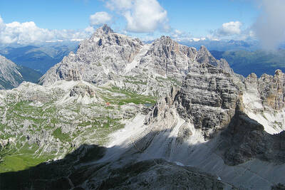
Dreischusterspitze, Schusterplatte and Paternkofel from the summit of the Kleine Zinne
Christian Pellegrin - CC BY-SA 2.0
Mountain hike to the Schusterplatte (2957 m)
The Laugenspitze from the northwest
Photo: Wikipedia-User: Thesurvived99 - GFDL
Laugenspitze (2433 m)
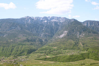
View of Roen from Karnol
Photo: Wikipedia-User: Plentn - Public Domain
Hike to Roèn (2116 m)
Radlsee and Radlseehütte, seen from the Königsangerspitze.
Photo: Wikipedia-User: Svickova - Public Domain
Hike to Radlsee (2196 m)
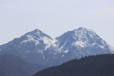
The Hirzer Peak (left, 2781m) from the west
Photo: Wikipedia-User: Stevie-Ray78 - CC BY-SA 3.0
Hike to the Hirzer (2781 m)
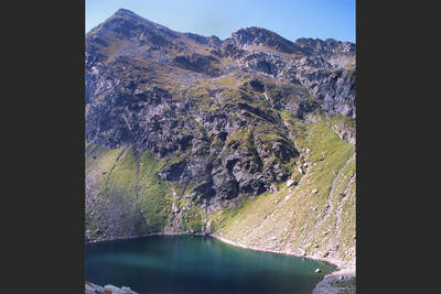
Spronser Lakes: Green Lake - Texel Group Nature Park
Photo: Wikipedia-User: Noclador - CC BY-SA 3.0
Spronser Lakes Plateau (2126 - 2589 m)
Muthöhfe auf der Mutspitze
Photo: Wikipedia-User: Thesurvived99 - CC BY-SA 3.0
Hike to the Mutspitze (2295 m)

Top Hotels


Close
Close