
Search Navigation Map
Search
Navigation Map EN
DE   IT   EN   Close

On the Move of the “Waalwege“

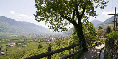
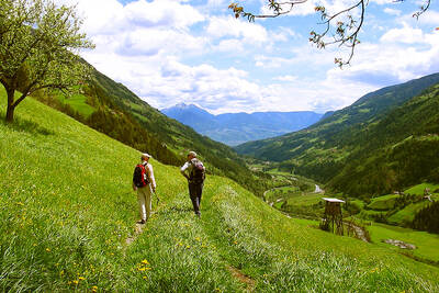
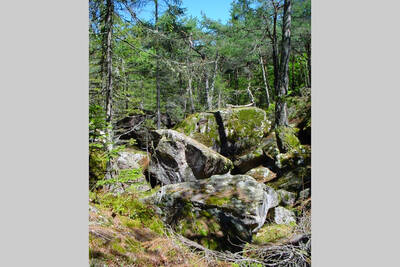
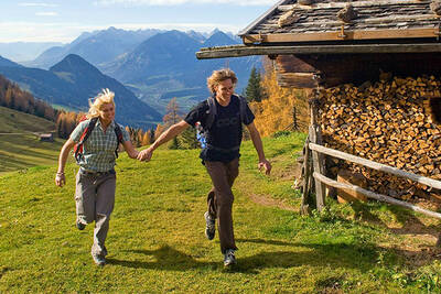
In the past, the irrigation channels were used to irrigate the fields, today they are typical walking paths that run along the foothills and are also well suited for children.

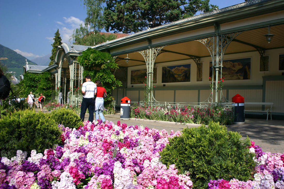
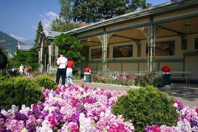
Spa promenade in Merano

Above all, in the Burgraviate and in the Vinschgau, farmers have always had to struggle with dryness. The regions are surrounded by high mountain ranges and the average precipitation is only about 500 mm per year. Therefore, so-called "waale" were developed here for the irrigation of the orchards, which transported and distributed the water accordingly. Long irrigation canals were dug, for which "kandeln" (wooden pipes) served as conduits. This form of irrigation began as early as the 12th century, and some waale are still used for this purpose today. In order to be able to control and maintain the waale, waal paths were laid out, and the constant flow of water was indicated with the help of "waalschellen." However, since maintaining the waale was extremely laborious, the majority was replaced by a system of new pipelines. Today, the waal paths are very popular with both locals and guests for leisurely hikes.

Many of the paths have only a slight incline and can be walked in normal footwear. Along the way, you can enjoy the beautiful view of the surrounding mountain world, and the waal paths are highly recommended for families with children. For example, the "Algunder Waalweg" in the Burgraviate is beautiful, which is a total of six kilometers long and runs from Oberplars to Gratsch. The starting point of this hike is the village of Töll, and from Oberplars you then walk through orchards with a wonderful view of Plars Castle. The old village of Algund Mühlbach, surrounded by vineyards, is also very beautiful. The route then continues towards Merano, where the landscape is characterized by fruit trees, cypresses, and palms, reminiscent of Tuscany. For those who still want to continue hiking, they can choose the Tappeiner Promenade with a descent to Merano Obermais. From Merano, you can then take the bus back to Töll. Another leisurely path runs above the villages of Tscherms, Marling, and Lana. The entrance in Raffengasse is initially relatively steep, but then it continues on a level path, and there is also the opportunity to stop along the way to rest and take in the nature. Therefore, especially in the autumn, the waal paths are a perfect opportunity to enjoy the last rays of sunshine and the colorful South Tyrolean landscape before the cold winter months.

How do you like the content of this page?
Please give us your feedback!

Recommended accommodations
Icon Pension

Pensione Ristorante Trausberg

Moso in Val Passiria ★★

The Pension Trausberg in Rabenstein in the Passeiertal Valley is an ideal starting point for mountain tours in the surrounding area, but is also perfect for motorcyclists and mountain bikers. The guesthouse is a family-run business and has spacious rooms, a cozy house bar and a dining room.

Request   Details

Homepage   Heart icon notice
Icon Wellness Hotel Icon Golf Hotel Icon Hiking Hotel Icon Wine Hotel

Hotel Marlena

Marlengo ★★★★s

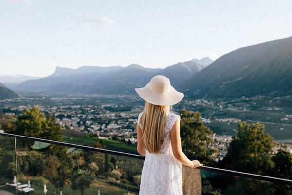
The Hotel Marlena is located nearby Merano and offers a beautiful view on the surroundings of Merano City.

Request   Details

Homepage   Heart icon notice
Icon Wellness Hotel Icon Hiking Hotel Icon Ski Hotel Icon Hotels for Lovers

Hotel Hirzer

Avelengo ★★★★s

Welcome to the Hirzer 2781 in the Italian Alps!

Request   Details

Homepage   Heart icon notice
Icon Wellness Hotel Icon Hiking Hotel

Erlebnishotel Waltershof

S. Nicolò ★★★★

A select hotel in the Ulten valley

Request   Details

Homepage   Heart icon notice
Hotel of the
Month
Hotel Plunhof

★★★★sSüdtirol

Hotel Plunhof
  • most family-friendly wellness hotel
  • hiking - biking
  • Discover, Enjoy, Relax
  • Spa Minera
  • Acqua Minera
  • spicy wines
  • be active together

Top Hotels

The best
tips
more on this topic
Stelvio Pass (left) and Rötlspitze (far right)
Foto: Armin Kübelbeck (modified by Svíčková and suedtirol-tirol) - CC BY-SA 3.0
8 Peaks March (Vinschgau)
Passeier Valley towards Merano
Urheber: Unbekannt - PD
Passeier High Trail (Passeier Valley)
Tribulaun Hut on the last meters of the hut climb
Photo: Wikipedia-User: Cactus26 - CC BY-SA 3.0
From the Tribulaun to the Magdeburger Hut
Partschinser Waterfall
Markus Rungg - CC-by-sa 3.0/de
Partschins Waterfall
South Tyrolean Schlinig Valley
Photo: Wikipedia-User: Mawamo - GFDL
Hike to the Pfaffenseen (2222 m)
Dreischusterspitze, Schusterplatte and Paternkofel from the summit of the Kleine Zinne
Christian Pellegrin - CC BY-SA 2.0
Mountain hike to the Schusterplatte (2957 m)
The Laugenspitze from the northwest
Photo: Wikipedia-User: Thesurvived99 - GFDL
Laugenspitze (2433 m)
View of Roen from Karnol
Photo: Wikipedia-User: Plentn - Public Domain
Hike to Roèn (2116 m)
Radlsee and Radlseehütte, seen from the Königsangerspitze.
Photo: Wikipedia-User: Svickova - Public Domain
Hike to Radlsee (2196 m)
The Hirzer Peak (left, 2781m) from the west
Photo: Wikipedia-User: Stevie-Ray78 - CC BY-SA 3.0
Hike to the Hirzer (2781 m)
Spronser Lakes: Green Lake - Texel Group Nature Park
Photo: Wikipedia-User: Noclador - CC BY-SA 3.0
Spronser Lakes Plateau (2126 - 2589 m)
Muthöhfe auf der Mutspitze
Photo: Wikipedia-User: Thesurvived99 - CC BY-SA 3.0
Hike to the Mutspitze (2295 m)

Vacation Offers


Close
Close