Search Navigation Map
Search

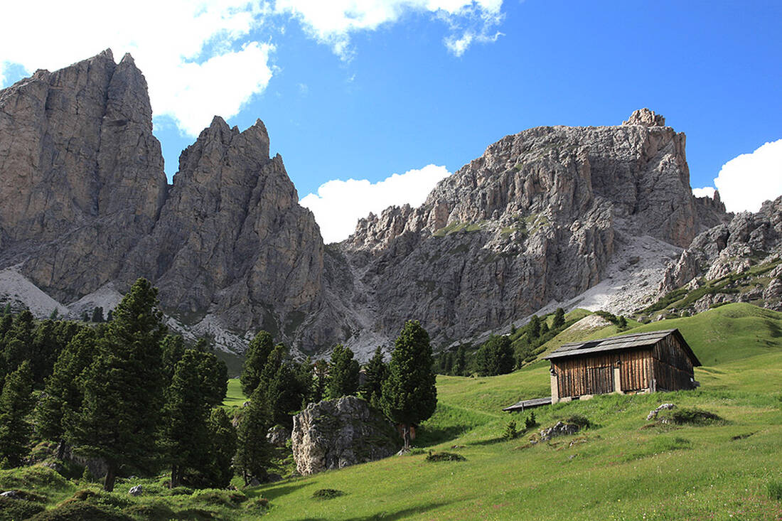
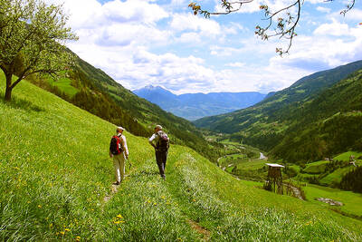
On the way on the Dolomites UNESCO Geotrail

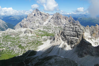
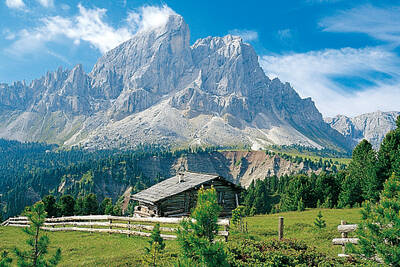
On ten stages and a total of 176 kilometers, one delves into the history of the formation of the Dolomites on the Dolomites UNESCO Geotrail.

South Tyrol Dolomites

The starting point of the trail is in Aldein, then you continue hiking on existing paths until you reach Sexten. At each stage, hikers learn a lot of interesting facts about the geology of the Dolomites. The Dolomites UNESCO Geotrail was created through a collaboration of the AVS and CAI South Tyrol associations, the South Tyrolean nature parks, the State Office for Geology and Building Materials Testing, IDM South Tyrol, the tourist associations of the Dolomite region, as well as the Department of Nature, Landscape, and Spatial Development, with the aim of imparting knowledge about the UNESCO World Heritage Dolomites to both locals and guests. The goal is to hike and perceive the fantastic mountain world with all senses and thereby strengthen the responsibility towards the landscape and nature.

The Dolomites UNESCO Geotrail not only conveys a lot of valuable information about the Dolomites, but also stands for a decelerated mountain experience and for high-quality tourism, which can be experienced at the 19 stations in total.

On the formation of the Dolomites

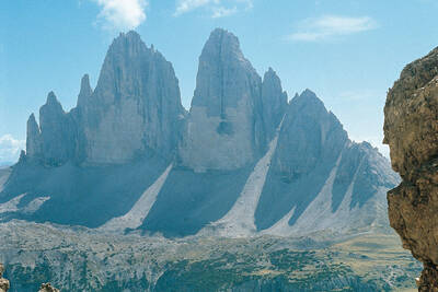
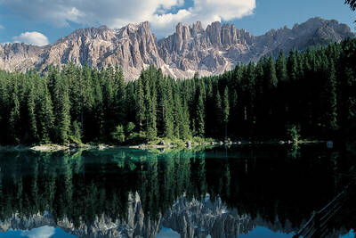
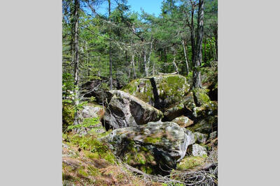
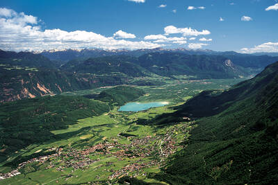
Previously, the locals also called the Dolomites "Bleiche Berge" (Pale Mountains), until the French geologist Déodat de Dolomieu came to this region in the 18th century and discovered an unknown mineral here, consisting of magnesium and calcium. Since then, this mineral has been called dolomite and the mountains in which the geologist discovered the rock have been called the Dolomites. The formation of the Dolomites is particularly evident in the Bletterbach Gorge, where the earth's history is almost compressed on the rock walls.

Approximately 280 million years ago, the Dolomite area was a flat and volcanic landmass and belonged to the supercontinent Pangaea. This eventually broke apart and the volcanic landscape became a coastal plain, which submerged and resurfaced several times, until the two new continents of Paleo-Africa and Paleo-Europe formed, which subsequently drifted apart. Finally, the so-called Dolomite reefs developed, which sank into a sea basin due to climatic changes. About 30 million years ago, the Dolomites emerged from the sea again, the rock layers were folded, and the Alps were formed. Due to the strong pressure, numerous layers of the Alps merged, but many original rock layers of the Dolomites remained intact.

How do you like the content of this page?
Please give us your feedback!

Recommended accommodations

Icon Wellness Hotel Icon Hiking Hotel Icon Mountainbike Hotel Icon Ski Hotel

Sporthotel Zoll

Vipiteno ★★★★

Sport hotel in Eisacktal with modern sports fitness facilities, beautiful wellness area, delicious healthy cuisine and countless activities at any season in the environs.

Request   Details

Homepage   Heart icon notice
Icon Wellness Hotel Icon Adults Only Hotel Icon Hotels for Lovers Icon Luxury Hotel

My Arbor - Plose Wellness Hotel

S. Andrea ★★★★★

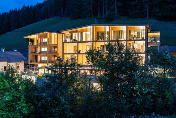
The Adults Only Hotel My Arbor***** is a tree hotel, built on stilts, high up in the tops of the surrounding trees [Latin: arbor, English: tree]. A refuge on the tree-covered mountainside of the Plose, in the middle of nature. Located just 10 minutes from Brixen, the hotel opened in May 2018. It is dynamic and modern in its architecture and the services offered to guests, yet firmly rooted in the traditions and values of the region.

Request   Details

Homepage   Heart icon notice
Icon Family Hotel Icon Hiking Hotel Icon Mountainbike Hotel Icon Ski Hotel

Berghotel Racines

Racines (CIN)CIN: IT021070A1W5XRXR9C ★★★★

A great holiday in our Berghotel

Request   Details

Homepage   Heart icon notice
Icon Wellness Hotel Icon Family Hotel Icon Hiking Hotel Icon Mountainbike Hotel Icon Motorcycle Hotel

Gran-Panorama Wellness Hotel Sambergerhof

Villandro (CIN)CIN: IT021114A1PBXI2TR6 ★★★s

Granpanorama Hotel Sambergerhof

Request   Details

Homepage   Heart icon notice
Hotel of the
Month
Hotel Plunhof

★★★★sSüdtirol

Hotel Plunhof
  • most family-friendly wellness hotel
  • hiking - biking
  • Discover, Enjoy, Relax
  • Spa Minera
  • Acqua Minera
  • spicy wines
  • be active together

Vacation Offers

The best
tips
more on this topic
Stelvio Pass (left) and Rötlspitze (far right)
Foto: Armin Kübelbeck (modified by Svíčková and suedtirol-tirol) - CC BY-SA 3.0
8 Peaks March (Vinschgau)
Passeier Valley towards Merano
Urheber: Unbekannt - PD
Passeier High Trail (Passeier Valley)
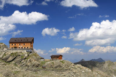
Tribulaun Hut on the last meters of the hut climb
Photo: Wikipedia-User: Cactus26 - CC BY-SA 3.0
From the Tribulaun to the Magdeburger Hut
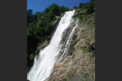
Partschinser Waterfall
Markus Rungg - CC-by-sa 3.0/de
Partschins Waterfall
South Tyrolean Schlinig Valley
Photo: Wikipedia-User: Mawamo - GFDL
Hike to the Pfaffenseen (2222 m)
Dreischusterspitze, Schusterplatte and Paternkofel from the summit of the Kleine Zinne
Christian Pellegrin - CC BY-SA 2.0
Mountain hike to the Schusterplatte (2957 m)
The Laugenspitze from the northwest
Photo: Wikipedia-User: Thesurvived99 - GFDL
Laugenspitze (2433 m)
View of Roen from Karnol
Photo: Wikipedia-User: Plentn - Public Domain
Hike to Roèn (2116 m)
Radlsee and Radlseehütte, seen from the Königsangerspitze.
Photo: Wikipedia-User: Svickova - Public Domain
Hike to Radlsee (2196 m)
The Hirzer Peak (left, 2781m) from the west
Photo: Wikipedia-User: Stevie-Ray78 - CC BY-SA 3.0
Hike to the Hirzer (2781 m)
Spronser Lakes: Green Lake - Texel Group Nature Park
Photo: Wikipedia-User: Noclador - CC BY-SA 3.0
Spronser Lakes Plateau (2126 - 2589 m)
Muthöhfe auf der Mutspitze
Photo: Wikipedia-User: Thesurvived99 - CC BY-SA 3.0
Hike to the Mutspitze (2295 m)

Top Hotels


Close
Close