Search Navigation Map
Search

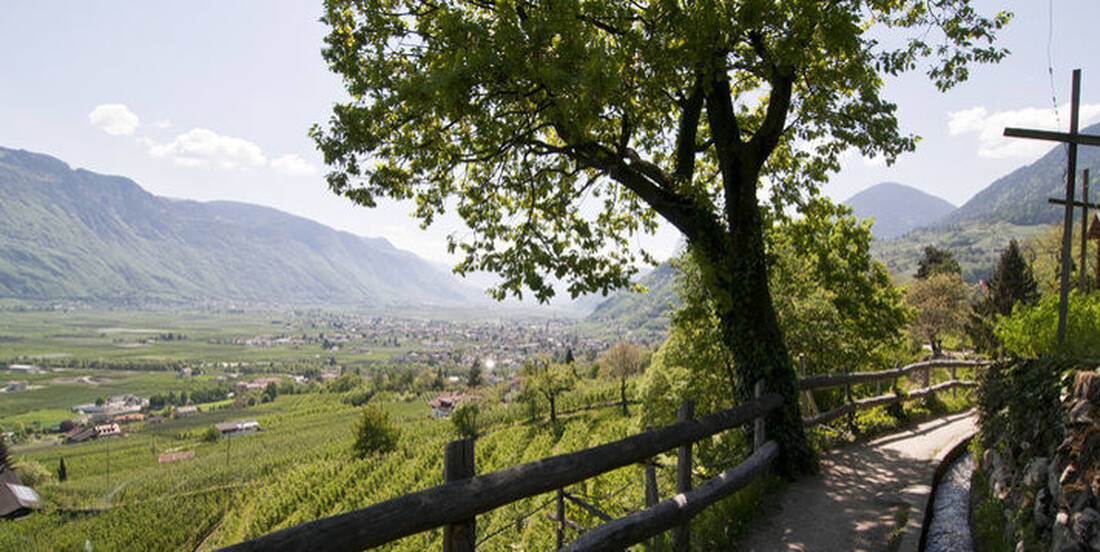
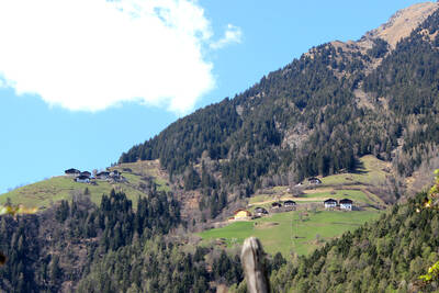
On the way on the Algund und Mais Waalweg

The irrigation channels (Waalwege) in South Tyrol are an excellent way to get to know the country's fantastic nature and enjoy beautiful viewpoints.

Hotel Algund Hiking Waalweg

As Waale are referred to as artificial irrigation channels, which originated in the 13th century. The term is derived from the Latin word "Aqualis", which means as much as watercourse. To maintain and preserve the Waal, usually a footbridge or Waalweg was constructed. Today, the paths along the canals serve as walking and hiking trails that are accessible all year round.

For example, above Algund runs the Algunder Waalweg, from which hikers have unique views of the Adige Valley. The path is a total of six kilometers long and leads from Ober- or Mitterplars over Algund and further to Gratsch. The Töll is the starting point of the hike, after which one walks over the Adige bridge towards Oberplars. From Oberplars, hikers continue through the beautiful vineyards to Merano, where one very often also encounters olive trees, cypresses, and palms. Afterwards, one has the opportunity to walk to Dorf Tirol or along the Tappeinerweg to Merano.

Enjoyable hiking on the Maiser Waalweg

A very beautiful circular hike takes you from Schenna over the Maiser Waalweg comfortably through orchards and mixed forest. A large part of the path runs along the Passer river, and along the way, hikers also have the opportunity to stop at family-friendly inns. The starting point of the hike is the village center of Schenna, then it goes over the Kalnaun- and Leiterweg to the Maiser Waalweg, which leads over the Schnuggenbach and the Petaunerhof to the Riffianerweg and back to Schenna.

Infobox:

Algunder Waalweg

Start: Töll-Oberplars
Elevation difference: 211 meters
Length: about six kilometers
Walking time: 1.5 to 2 hours

Maiser Waalweg

Start: Schenna/Information office
Elevation difference: 270 meters
Length: 6.7 kilometers

How do you like the content of this page?
Please give us your feedback!

Recommended accommodations

Hotel Burggräflerhof

Merano ★★★★

The Hotel Burggräflerhof in Merano,your friendly wellness resort in South Tyrol Surrounded by green orchards, our friendly, comfortable Hotel Burggräflerhof in Merano awaits you with all the incredible natural beauty the area of Merano has to offer.

Request   Details

Homepage   Heart icon notice
Icon Wellness Hotel Icon Hiking Hotel Icon Hotels for Lovers Icon Gourmet Hotel Icon Luxury Hotel

Hotel Resmairhof

Scena ★★★★s

Unique views in a 4-star superior hotel in Scena! We will shortly be proudly reopening and look forward to showing you our new hotel in Scena in person!

Request   Details

Homepage   Heart icon notice
Icon Wellness Hotel Icon Family Hotel Icon Hiking Hotel Icon Gourmet Hotel

Hotel Am Sonneck

Lagundo ★★★s

Welcome - “Am Sonneck“ Enjoy your location! In a peaceful atmosphere surrounded with fruits trees and with a great view on the city of Merano you can find the best place for your holiday – OUR NEW HOTEL.

Request   Details

Homepage   Heart icon notice
Hotel Hofer

Tirolo ★★★s

Step inside and enjoy looking at the wonderful pictures of our Hotel Hofer - just a foretaste of your holiday near Merano in a sophisticated and spectacular ambience.

Request   Details

Homepage   Heart icon notice
Hotel of the
Month
Hotel Plunhof

★★★★sAlto Adige

Hotel Plunhof
  • most family-friendly wellness hotel
  • enjoy the winter landscape
  • cross-country skiing paradise
  • Spa Minera Acqua Minera
  • spicy wines
  • be active together

Top Hotels

The best
tips
more on this topic
Stelvio Pass (left) and Rötlspitze (far right)
Foto: Armin Kübelbeck (modified by Svíčková and suedtirol-tirol) - CC BY-SA 3.0
8 Peaks March (Vinschgau)
Passeier Valley towards Merano
Urheber: Unbekannt - PD
Passeier High Trail (Passeier Valley)
Tribulaun Hut on the last meters of the hut climb
Photo: Wikipedia-User: Cactus26 - CC BY-SA 3.0
From the Tribulaun to the Magdeburger Hut
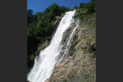
Partschinser Waterfall
Markus Rungg - CC-by-sa 3.0/de
Partschins Waterfall
South Tyrolean Schlinig Valley
Photo: Wikipedia-User: Mawamo - GFDL
Hike to the Pfaffenseen (2222 m)
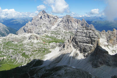
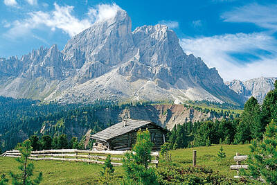
Dreischusterspitze, Schusterplatte and Paternkofel from the summit of the Kleine Zinne
Christian Pellegrin - CC BY-SA 2.0
Mountain hike to the Schusterplatte (2957 m)
The Laugenspitze from the northwest
Photo: Wikipedia-User: Thesurvived99 - GFDL
Laugenspitze (2433 m)
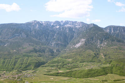
View of Roen from Karnol
Photo: Wikipedia-User: Plentn - Public Domain
Hike to Roèn (2116 m)
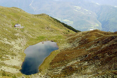
Radlsee and Radlseehütte, seen from the Königsangerspitze.
Photo: Wikipedia-User: Svickova - Public Domain
Hike to Radlsee (2196 m)
The Hirzer Peak (left, 2781m) from the west
Photo: Wikipedia-User: Stevie-Ray78 - CC BY-SA 3.0
Hike to the Hirzer (2781 m)
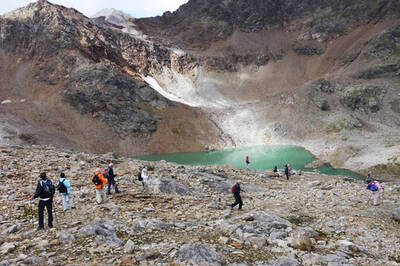
Spronser Lakes: Green Lake - Texel Group Nature Park
Photo: Wikipedia-User: Noclador - CC BY-SA 3.0
Spronser Lakes Plateau (2126 - 2589 m)
Muthöhfe auf der Mutspitze
Photo: Wikipedia-User: Thesurvived99 - CC BY-SA 3.0
Hike to the Mutspitze (2295 m)

Vacation Offers


Close
Close