Search Navigation Map
Search

Hike to the Hirzer (2781 m)

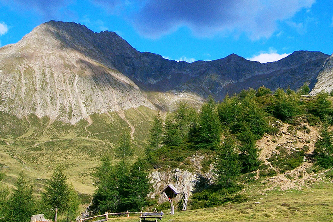
The Hirzer is the highest peak of the Sarntal western ridge and can be easily climbed by hikers who are not afraid of heights and sure-footed.

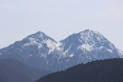
The Hirzer Peak (left, 2781m) from the west
The Hirzer Peak (left, 2781m) from the west - Photo: Wikipedia-User: Stevie-Ray78 - CC BY-SA 3.0

This challenging hike takes you to the summit of the Hirzer Spitze, one of the striking local mountains of Merano, located in the picturesque Sarntal Alps of South Tyrol. For this tour, hikers should be free from vertigo and sure-footed, as the path below the ridge features technically demanding passages and the section between ridge and summit is steep and exposed. From the summit, which rises to 2,781 meters, hikers are rewarded with a spectacular panoramic view that extends to the majestic Dolomites.

Ascent:

The ascent begins at the Klammeben mountain station, from where you head northeast towards the Hochplateau of the Tallner Alm. The Alm is located in a spacious basin, surrounded by picturesque mountain meadows – a truly idyllic place (signpost 40a).

From the Tallner Alm, the route leads eastward over the Gebirgsjägersteig (E5). First, you cross the grassy basin before the path climbs steeply over scree and through rocky sections to the Obere Scharte, the lowest point on the ridge (E5).

Along the ridge, the trail continues northeast on the Sarntal side, over rocky passages and scree fields. The path partially descends until the beginning of the summit ascent. Here you leave the E5 to reach the summit of the Hirzer in a wide arc and over several switchbacks (marker 7).

Descent:

The way back to the summit takes you back to the Obere Scharte on the ridge (marker 7). Then you descend steeply over the Gebirgsjägersteig (E5), through scree and over rocky passages, to the Tallner Alm (E5). From there, you return to the Klammeben mountain station (signpost 40a).

This tour promises an unforgettable alpine experience with breathtaking views and challenging passages, ideal for experienced mountain hikers looking for an adventure in the South Tyrolean Alps.

How do you like the content of this page?
Please give us your feedback!

Recommended accommodations

Icon Wellness Hotel Icon Golf Hotel Icon Hotels for Lovers Icon Luxury Hotel

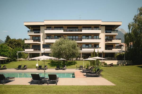
Park Hotel Mignon

Merano ★★★★★

Welcome in the Belvita Park Hotel Mignon & SPA Merano! Come in and have a insight in the beauty of Merano and surroundings!

Request   Details

Homepage   Heart icon notice
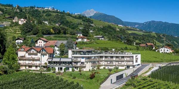
Hotel Pollinger

Merano ★★★★

The 4-star Hotel Pollinger is located in a quiet and sunny location in Meran.

Request   Details

Homepage   Heart icon notice
Icon Wellness Hotel Icon Family Hotel Icon Hiking Hotel Icon Hotels for Lovers

Hotel Wessobrunn

Merano ★★★★

Ihr Rückzugsort zum Wohlfühlen. Ihr Kraftplatz in der Natur. Ihr Genussurlaub mit Blick auf Meran.

Request   Details

Homepage   Heart icon notice
Icon Wellness Hotel Icon Hiking Hotel Icon Hotels for Lovers Icon Gourmet Hotel

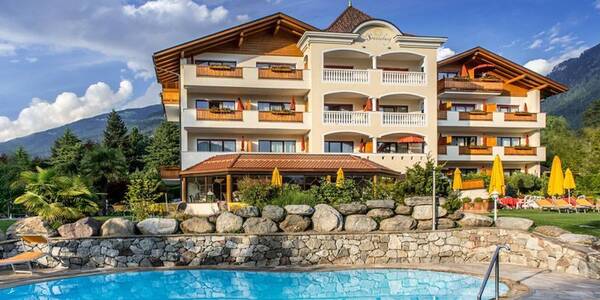
Hotel Sonnenburg

Merano ★★★★

Our Hotel in Merano, the Hotel Sonnenburg, is a stylish and peaceful oasis nestled in the chic residential area of Maia Alta/Obermais. Located in Merano and Environs and surrounded by breath-taking mountains, this gorgeous backdrop is the perfect place to relax and enjoy an eventful holiday in Merano.

Request   Details

Homepage   Heart icon notice
Hotel of the
Month
Hotel Plunhof

★★★★sAlto Adige

Hotel Plunhof
  • most family-friendly wellness hotel
  • enjoy the winter landscape
  • cross-country skiing paradise
  • Spa Minera Acqua Minera
  • spicy wines
  • be active together

Top Hotels

The best
tips
more on this topic
Stelvio Pass (left) and Rötlspitze (far right)
Foto: Armin Kübelbeck (modified by Svíčková and suedtirol-tirol) - CC BY-SA 3.0
8 Peaks March (Vinschgau)
Passeier Valley towards Merano
Urheber: Unbekannt - PD
Passeier High Trail (Passeier Valley)
Tribulaun Hut on the last meters of the hut climb
Photo: Wikipedia-User: Cactus26 - CC BY-SA 3.0
From the Tribulaun to the Magdeburger Hut
Partschinser Waterfall
Markus Rungg - CC-by-sa 3.0/de
Partschins Waterfall
South Tyrolean Schlinig Valley
Photo: Wikipedia-User: Mawamo - GFDL
Hike to the Pfaffenseen (2222 m)
Dreischusterspitze, Schusterplatte and Paternkofel from the summit of the Kleine Zinne
Christian Pellegrin - CC BY-SA 2.0
Mountain hike to the Schusterplatte (2957 m)
The Laugenspitze from the northwest
Photo: Wikipedia-User: Thesurvived99 - GFDL
Laugenspitze (2433 m)
View of Roen from Karnol
Photo: Wikipedia-User: Plentn - Public Domain
Hike to Roèn (2116 m)
Radlsee and Radlseehütte, seen from the Königsangerspitze.
Photo: Wikipedia-User: Svickova - Public Domain
Hike to Radlsee (2196 m)
The Hirzer Peak (left, 2781m) from the west
Photo: Wikipedia-User: Stevie-Ray78 - CC BY-SA 3.0
Hike to the Hirzer (2781 m)
Spronser Lakes: Green Lake - Texel Group Nature Park
Photo: Wikipedia-User: Noclador - CC BY-SA 3.0
Spronser Lakes Plateau (2126 - 2589 m)
Muthöhfe auf der Mutspitze
Photo: Wikipedia-User: Thesurvived99 - CC BY-SA 3.0
Hike to the Mutspitze (2295 m)

Vacation Offers


Close
Close