Search Navigation Map
Search
Wikipedia-User: Llorenzi - CC BY-SA 3.0

Mountain tour to the Peitlerkofel (2874 m)

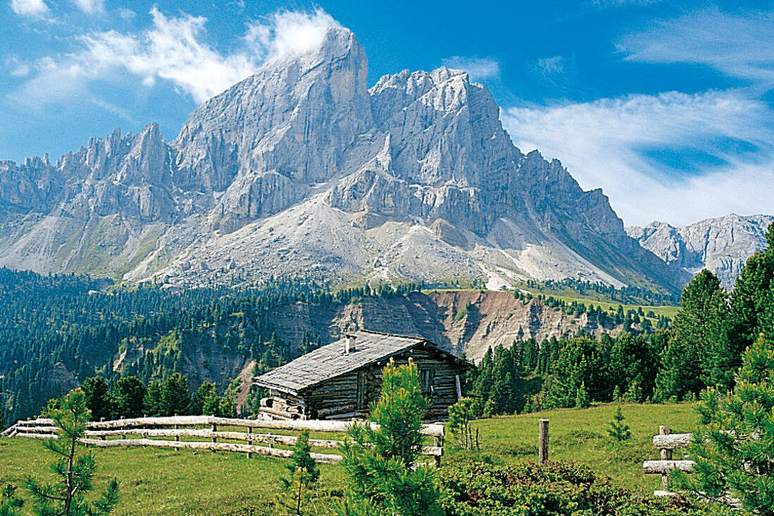
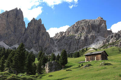
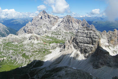
This massive rock mountain - the northwestern cornerstone of the Dolomites - towers with its 600 m high north face clearly visible above the green Lüsner mountains.

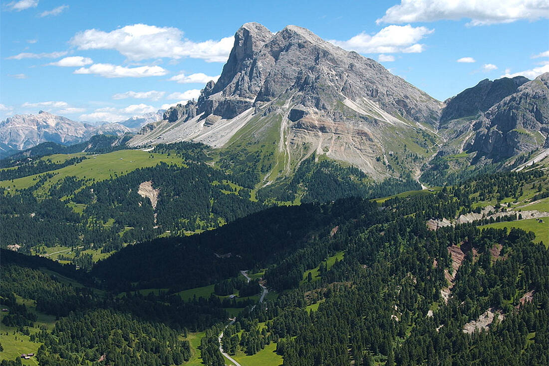
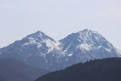
Peitlerkofel (2875m) seen from Würzjoch
Würzjochstrasse - Transition into the Gadertal
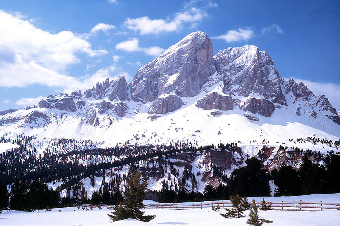
Peitlerkofel 2875m
Peitlerkofel 2875m

A summit experience of the highest class

Entry into the adventure

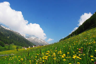
Our tour begins at the Würzjoch, which is accessible via St. Martin in Thurn in the Gadertal, Lüsen or the Villnösstal. From the paid parking lot at the Ütia de Börz, right in front of the impressive north face of the Peitlerkofel, we choose the forest path No. 8A to the right, which leads us to the Ütia Göma. Soon the forest opens up and gives us a view of the magnificent Peitler meadows, a sea of alpine roses and a variety of other flowers that make every nature lover's heart beat faster.

The path to the Peitlerscharte

After the soon branching off to Ütia Göma at the foot of the "Sas de Pütia", we follow the path 8A along the flowering meadows. The path narrows increasingly until we reach an elongated gorge along a stream and past snow fields. The path No. 4 leads us steeper to the Peitlerscharte at 2,357 meters - a perfect place for a break. From here, there are numerous hiking trails, for example to the Schlüterhütte in Villnöss or to Campill in the Gadertal.

Up the summit via switchbacks

We continue through meadow terrain and numerous switchbacks uphill into increasingly alpine terrain, until we reach the panoramic saddle between the Großer and Kleiner Peitlerkofel. Here begins the secured ascent with wire ropes, where surefootedness is required. For slightly insecure hikers or children, a via ferrata set is recommended for safety. After overcoming this passage and the last meters on a rocky path, we finally reach the summit cross of the Peitlerkofel. The view from up here is spectacular and offers panoramic views of the Dolomites, including the Marmolata, and the Zillertal Alps.

Return and tips

The return journey is via the same path, with special attention required for the summit structure. The Peitlerkofel is known for its breathtaking views and is therefore particularly popular with mountain enthusiasts. An early start in midsummer is advisable to avoid the crowds. The tour requires good physical condition and mountain experience, especially the summit structure is only suitable for those free from vertigo and surefooted. A detour to the Kleiner Peitlerkofel is recommended to admire the "big brother" from a unique perspective. From the Peitlerscharte, the hike can also be combined with the circumnavigation of the Peitlerkofel, which also ends at the Würzjoch.

How do you like the content of this page?
Please give us your feedback!

Recommended accommodations

Hotel Rezia

La Villa ★★★s

The Hotel Rezia is located in the village of La Villa (1,433 m a.s.l.), in a renowned village in the Badia Valley,

Request   Details

Homepage   Heart icon notice
Icon Vacation apartment Icon Family Hotel Icon Hiking Hotel Icon Mountainbike Hotel Icon Ski Hotel

Rönnhof – Chalet Cogolara

Corvara ★★★★

Luxury apartments in South Tyrol! The Chalet Cogolara is located in Colfosco in peaceful setting at the foot of the Puez-Odle/Geisler nature park, in the heart of the Dolomites UNESCO World Natural Heritage.

Request   Details

Homepage   Heart icon notice
Hotel of the
Month
Hotel Plunhof

★★★★sAlto Adige

Hotel Plunhof
  • most family-friendly wellness hotel
  • enjoy the winter landscape
  • cross-country skiing paradise
  • Spa Minera Acqua Minera
  • spicy wines
  • be active together

Vacation Offers

The best
tips
more on this topic
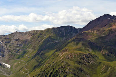
Stelvio Pass (left) and Rötlspitze (far right)
Foto: Armin Kübelbeck (modified by Svíčková and suedtirol-tirol) - CC BY-SA 3.0
8 Peaks March (Vinschgau)
Passeier Valley towards Merano
Urheber: Unbekannt - PD
Passeier High Trail (Passeier Valley)
Tribulaun Hut on the last meters of the hut climb
Photo: Wikipedia-User: Cactus26 - CC BY-SA 3.0
From the Tribulaun to the Magdeburger Hut
Partschinser Waterfall
Markus Rungg - CC-by-sa 3.0/de
Partschins Waterfall
South Tyrolean Schlinig Valley
Photo: Wikipedia-User: Mawamo - GFDL
Hike to the Pfaffenseen (2222 m)
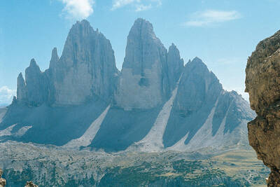
Dreischusterspitze, Schusterplatte and Paternkofel from the summit of the Kleine Zinne
Christian Pellegrin - CC BY-SA 2.0
Mountain hike to the Schusterplatte (2957 m)
The Laugenspitze from the northwest
Photo: Wikipedia-User: Thesurvived99 - GFDL
Laugenspitze (2433 m)
View of Roen from Karnol
Photo: Wikipedia-User: Plentn - Public Domain
Hike to Roèn (2116 m)
Radlsee and Radlseehütte, seen from the Königsangerspitze.
Photo: Wikipedia-User: Svickova - Public Domain
Hike to Radlsee (2196 m)
The Hirzer Peak (left, 2781m) from the west
Photo: Wikipedia-User: Stevie-Ray78 - CC BY-SA 3.0
Hike to the Hirzer (2781 m)
Spronser Lakes: Green Lake - Texel Group Nature Park
Photo: Wikipedia-User: Noclador - CC BY-SA 3.0
Spronser Lakes Plateau (2126 - 2589 m)
Muthöhfe auf der Mutspitze
Photo: Wikipedia-User: Thesurvived99 - CC BY-SA 3.0
Hike to the Mutspitze (2295 m)

Top Hotels


Close
Close