Search Navigation Map
Search

Laugenspitze (2433 m)

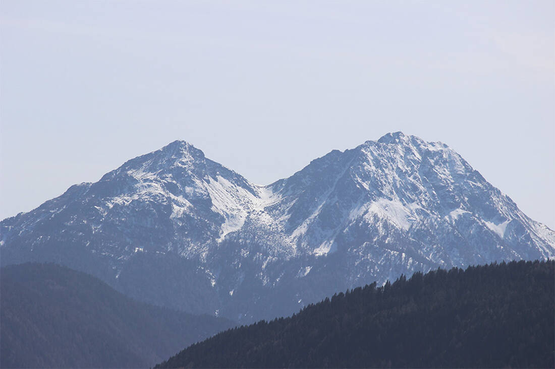
The Laugenspitze - a striking, freestanding double peak - rises above the entrance to the Ulten Valley and offers a magnificent view of the wide Adige Valley.

The Laugenspitze from the northwest
The Laugenspitze from the northwest - Photo: Wikipedia-User: Thesurvived99 - GFDL

The hike to the summit of Laugenspitze begins at the Gampen Pass, which lies picturesquely between Lana in the Etschtal and Fondo in the Nonstal, and forms a natural connection between South Tyrol and Trentino. At the end of August, during our exploration, there is a pleasantly cool breeze on the pass, which is located at an altitude of 1,518 meters, in contrast to the summer heat in the valley.

Our adventure starts through dense forests, aiming to reach the Laugenalm. The path is consistently well marked, partly with the number 10A, partly by other signposts. The numerous ripe raspberries along the way sweeten our ascent. After crossing a forest road and following a smaller path to the Alm, we reach the Laugenalm at an altitude of 1,835 meters after about an hour and a half of walking time and treat ourselves to a small break for refreshment.

From the Alm, trail No. 10 leads us past grazing sheep and steadily uphill. After another hour, we catch sight of our goal, the Laugenspitze. The last part of the ascent proves to be particularly steep and demanding. For a final rest before the summit climb, a detour to the nearby Laugensee is recommended - an opportunity we do not miss. Once we reach the summit, at an altitude of 2,434 meters, we are rewarded with a spectacular panorama.

Laugenspitze offers a comprehensive view: to the north the Texel Group, to the west the Ortler Group, and to the south the mountain chains of Trentino, including the Brenta and Presanella groups. Even the Dolomites and the distant Sciliar are visible. We take the opportunity to take photos of the imposing Ortler peak and the glaciers of the main Alpine ridge. After a refreshment, we start the return journey, which takes us back to the Gampen Pass along the same path.

Note for the way back

For the return from Laugenspitze to Laugenalm, either the already known path or alternatively trail No. 10A on the opposite side can be used. The last stage from the Laugenalm back to the Gampen Pass leads us along the same path we took on the ascent.

How do you like the content of this page?
Please give us your feedback!

Recommended accommodations

Icon Hiking Hotel

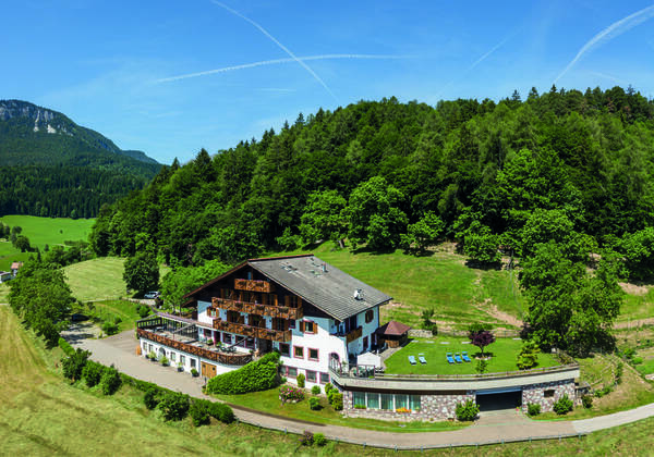
Hotel Grissianer Hof

Grissiano ★★★

The Grissianerhof is a nice, tipical family run holiday inn.

Request   Details

Homepage   Heart icon notice
Icon Chalet

Alpwell Chalet

Tesimo

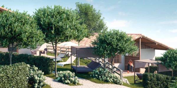
Enjoy your vacation comfortably and independently in the Alpwell Chalet at the Burggräfler in Tisens near Meran. Your 60 m² private chalet has a terrace and an additional 60 m² garden.

Request   Details

Homepage   Heart icon notice
Icon Wellness Hotel Icon Hiking Hotel

Hotel Gasthof zum Mohren

Tesimo-Prissiano ★★★s

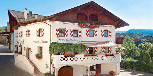
Plunge into a holiday where all your expectations are exceeded. Once again have time for yourself, relax the soul and spend a holiday in a place cosy like home.

Request   Details

Homepage   Heart icon notice
Icon Wellness Hotel Icon Golf Hotel Icon Hiking Hotel Icon Mountainbike Hotel

Tirolensis

Tesimo ★★★★

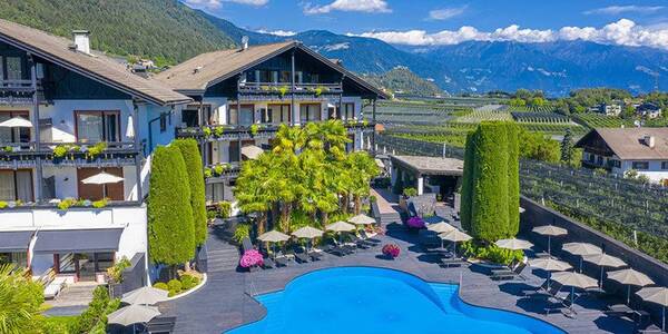
Between orchards and the South Tyrolean mountains, you will find our hotel. Tesimo/Tisens or more precisely Prissiano/Prissian is the location of your sunny holiday resort.

Request   Details

Homepage   Heart icon notice
Hotel of the
Month
Hotel Plunhof

★★★★sAlto Adige

Hotel Plunhof
  • most family-friendly wellness hotel
  • enjoy the winter landscape
  • cross-country skiing paradise
  • Spa Minera Acqua Minera
  • spicy wines
  • be active together

Vacation Offers

The best
tips
more on this topic
Stelvio Pass (left) and Rötlspitze (far right)
Foto: Armin Kübelbeck (modified by Svíčková and suedtirol-tirol) - CC BY-SA 3.0
8 Peaks March (Vinschgau)
Passeier Valley towards Merano
Urheber: Unbekannt - PD
Passeier High Trail (Passeier Valley)
Tribulaun Hut on the last meters of the hut climb
Photo: Wikipedia-User: Cactus26 - CC BY-SA 3.0
From the Tribulaun to the Magdeburger Hut
Partschinser Waterfall
Markus Rungg - CC-by-sa 3.0/de
Partschins Waterfall
South Tyrolean Schlinig Valley
Photo: Wikipedia-User: Mawamo - GFDL
Hike to the Pfaffenseen (2222 m)
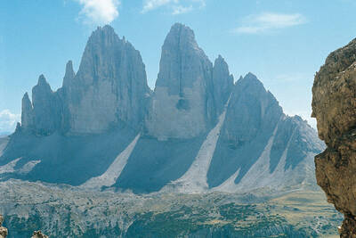
Dreischusterspitze, Schusterplatte and Paternkofel from the summit of the Kleine Zinne
Christian Pellegrin - CC BY-SA 2.0
Mountain hike to the Schusterplatte (2957 m)
The Laugenspitze from the northwest
Photo: Wikipedia-User: Thesurvived99 - GFDL
Laugenspitze (2433 m)
View of Roen from Karnol
Photo: Wikipedia-User: Plentn - Public Domain
Hike to Roèn (2116 m)
Radlsee and Radlseehütte, seen from the Königsangerspitze.
Photo: Wikipedia-User: Svickova - Public Domain
Hike to Radlsee (2196 m)
The Hirzer Peak (left, 2781m) from the west
Photo: Wikipedia-User: Stevie-Ray78 - CC BY-SA 3.0
Hike to the Hirzer (2781 m)
Spronser Lakes: Green Lake - Texel Group Nature Park
Photo: Wikipedia-User: Noclador - CC BY-SA 3.0
Spronser Lakes Plateau (2126 - 2589 m)
Muthöhfe auf der Mutspitze
Photo: Wikipedia-User: Thesurvived99 - CC BY-SA 3.0
Hike to the Mutspitze (2295 m)

Top Hotels


Close
Close