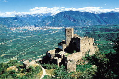
A trip to Italy was more or less a 'must' for painters of the Renaissance, as this is where one could study the great models of antiquity, but also the contemporary masters of the time. Albrecht Dürer also traveled from Nuremberg, crossing the Brenner Pass and through the Eisack and Adige valleys to the south. In Chiusa, the Dürerstein commemorates the place from which the artist sketched the medieval town.
On Dürerweg in Salurn
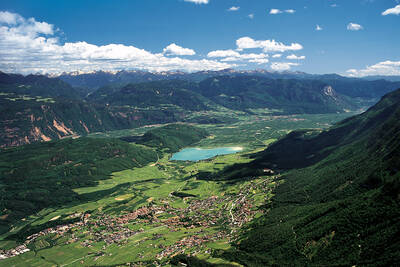
After also visiting Bolzano, Dürer continued his journey through the Unterland. There, however, one of the frequent floods of the Adige had largely inundated the valley and made the Salorno Gorge impassable. Dürer was thus forced to take a different route for his onward journey after a stay at the hospice 'Klösterle' near Neumarkt. He set off for Laag, followed the Laukenbach stream to Buchholz, and then traveled over the Sauch pass and through the Cembra Valley to Segonzano in Trentino. Dürer captured some of the places on this route in drawings and watercolors.
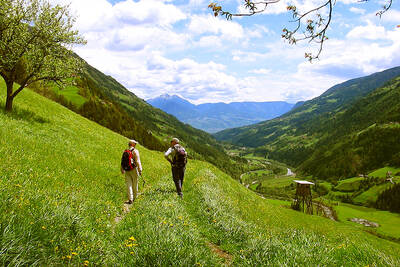
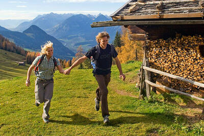
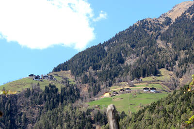
This path, which Dürer chose for his trip to Italy in 1494, can today be followed in several stages as a mostly tranquil and not too difficult hike through a wonderful landscape. The so-called Dürerweg leads from Klösterle to the earth pyramids of Segonzano, from the south of South Tyrol to the picturesque Cembra Valley in Trentino.
From South Tyrol to Trentino
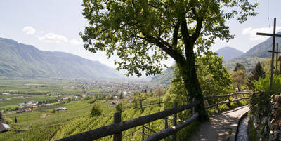
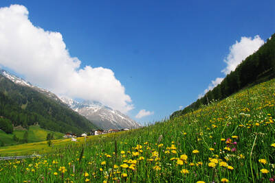
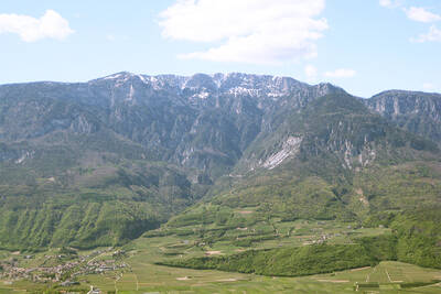
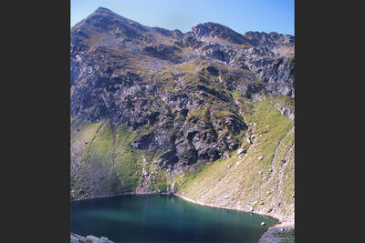
The Dürerweg is divided into eight sections, each 2 to a maximum of 9 km in length. In total, the trail is about 35 km long with 1,450 meters of ascent and 850 meters of descent. In addition to numerous signposts, the famous monogram of the artist serves as a trail marker. The unique landscape is strongly characterized by viticulture and fruit growing, but also by chestnut trees that have been native here since Roman times. Special attractions include the Lago Santo, the Holy Lake, and the earth pyramids of Segonzano.
The Dürerweg is practically accessible all year round with the right equipment. However, it is most charming in spring when the fruit trees are in bloom, and in autumn, when the forests shine in a colorful splendor and you can spend the evening after the hike in a convivial round of Törggelen.
 How do you like the content of this page?
Please give us your feedback!
Recommended accommodations
Month

Vacation Offers
tips


